BEST VISTAS: CONNECTICUT HIKES
GREAT HILL
Cobalt, Connecticut
ABOUT THE HIKE
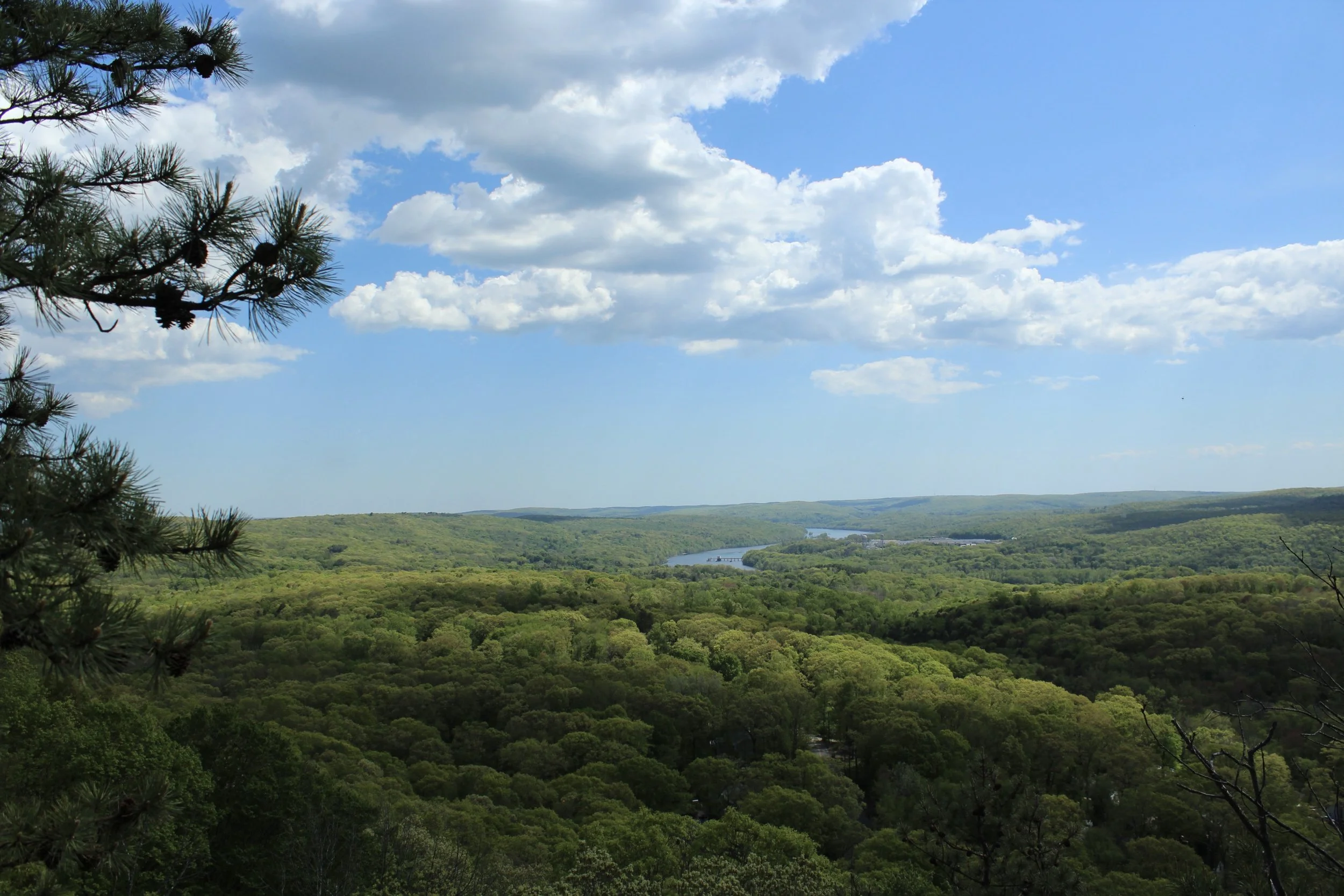
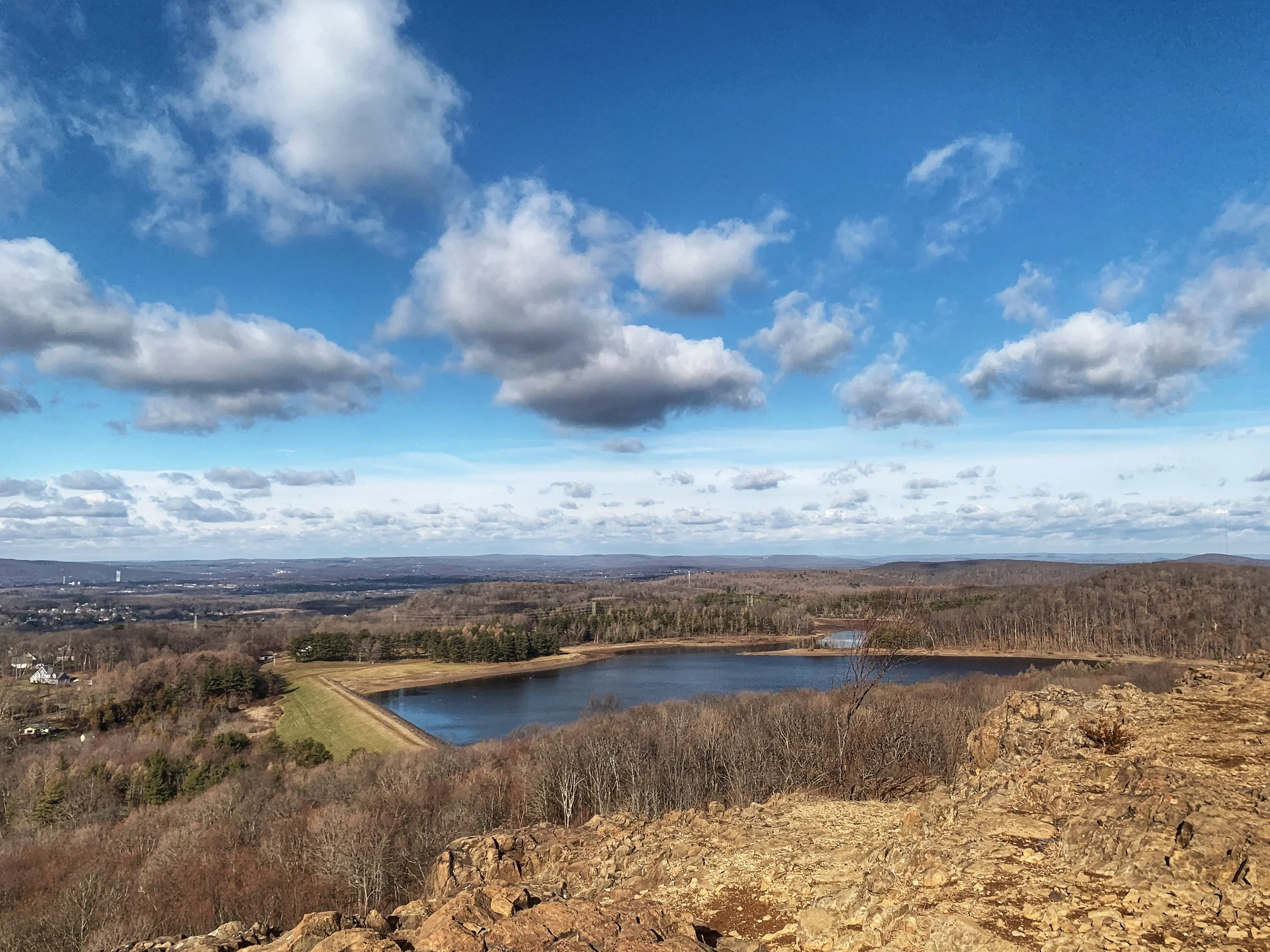
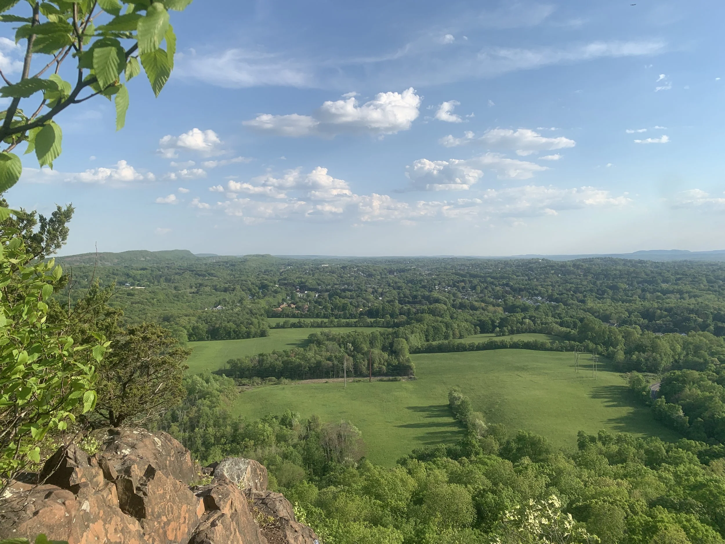
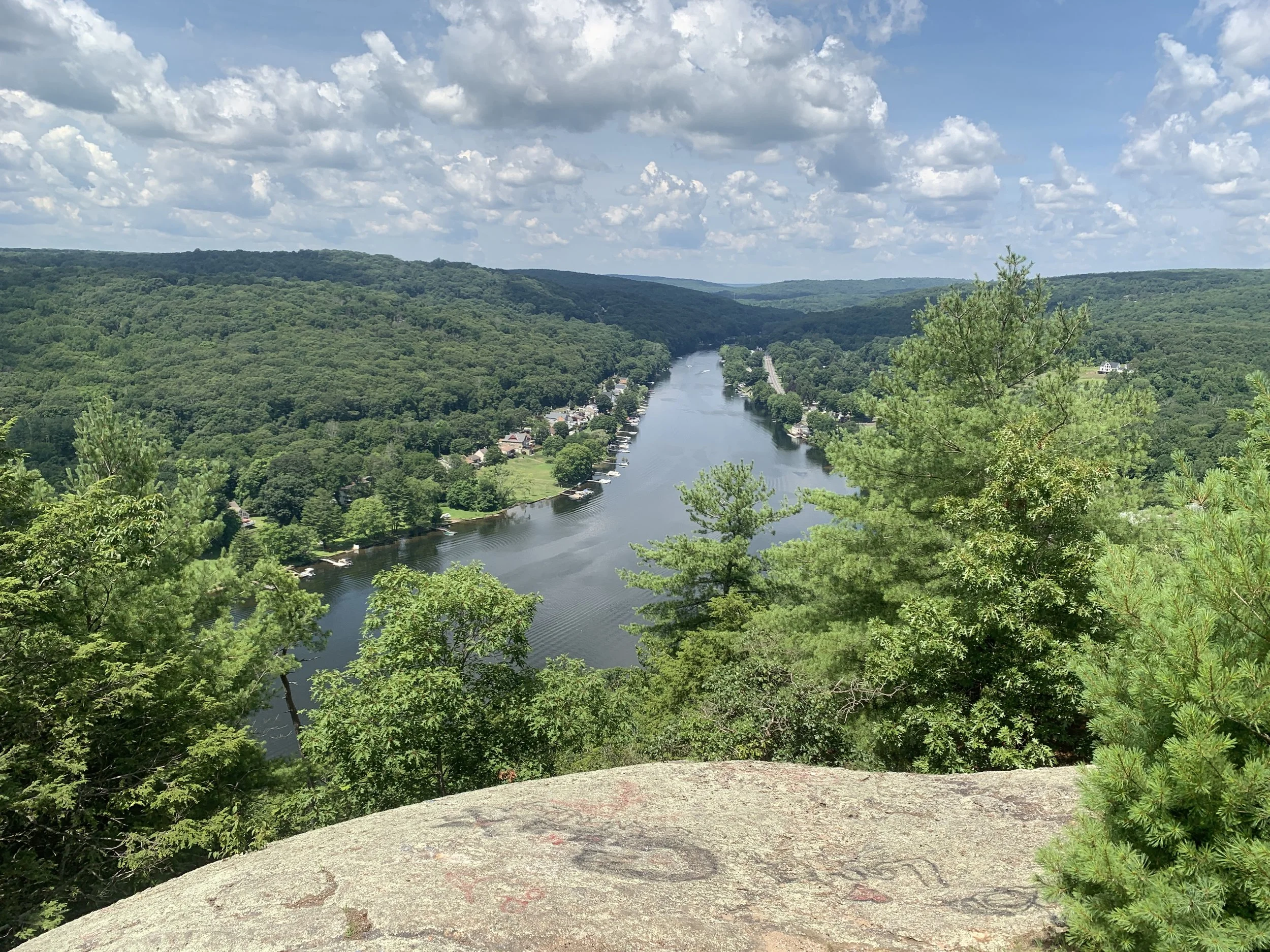
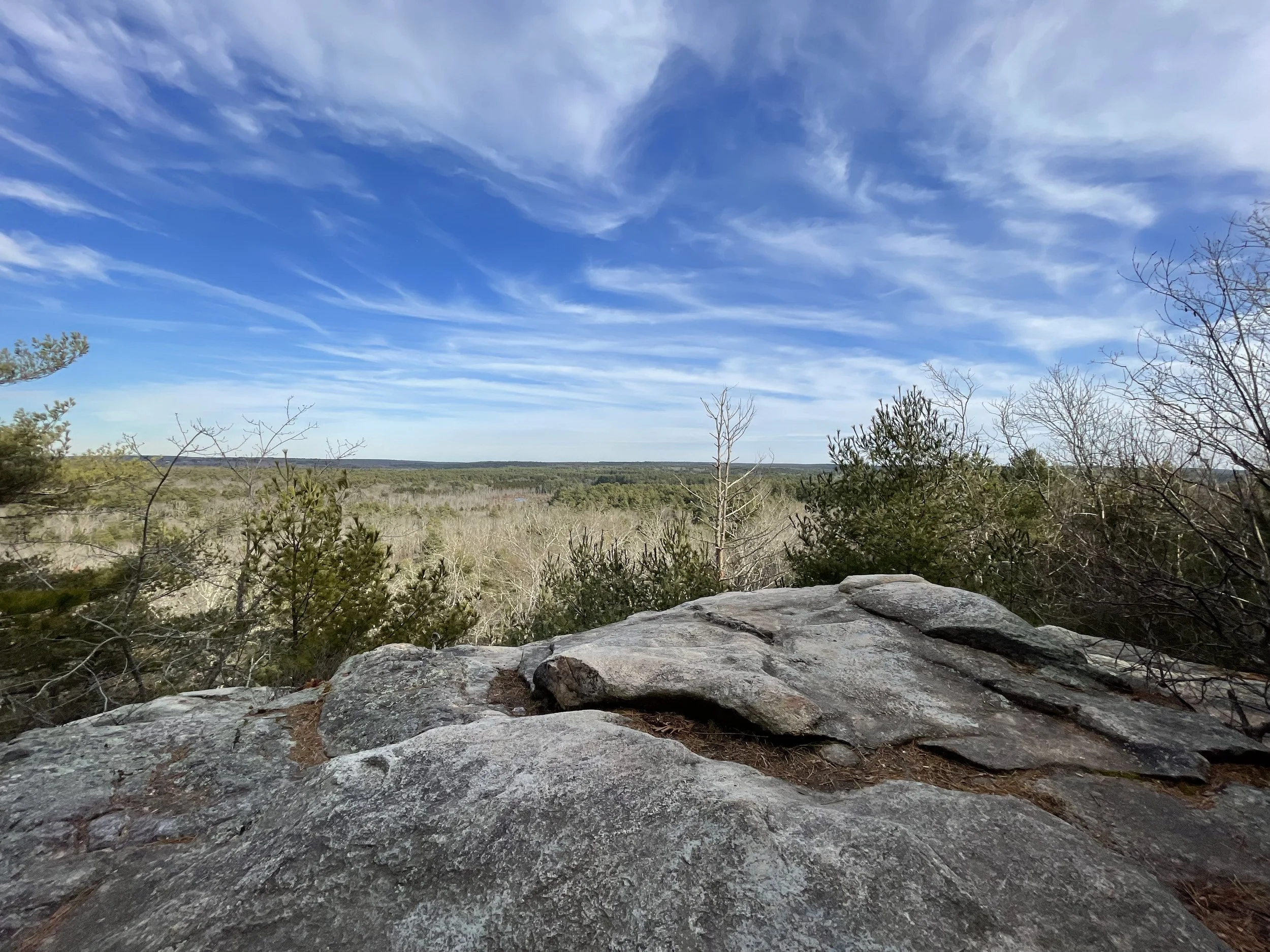
Located in Meshomasic State Forest, Great Hill Mountain is one of Connecticut’s most underrated hikes. A short, but steep hike on the Shenipsit Trail opens up to a breathtaking view of Great Hill Pond and the Connecticut River. This hike is a favorite of mine because, more often than not, I get to enjoy the amazing overlook without any other people around.
DISTANCE: 1.0 - 3.8 miles
LEVEL OF DIFFICULTY: Moderate
PARKING
The Shenipsit Trail is accessible from a small lot at 86 Gadpouch Rd in East Hampton, Connecticut,
RAGGED MOUNTAIN
Berlin, Connecticut
ABOUT THE HIKE
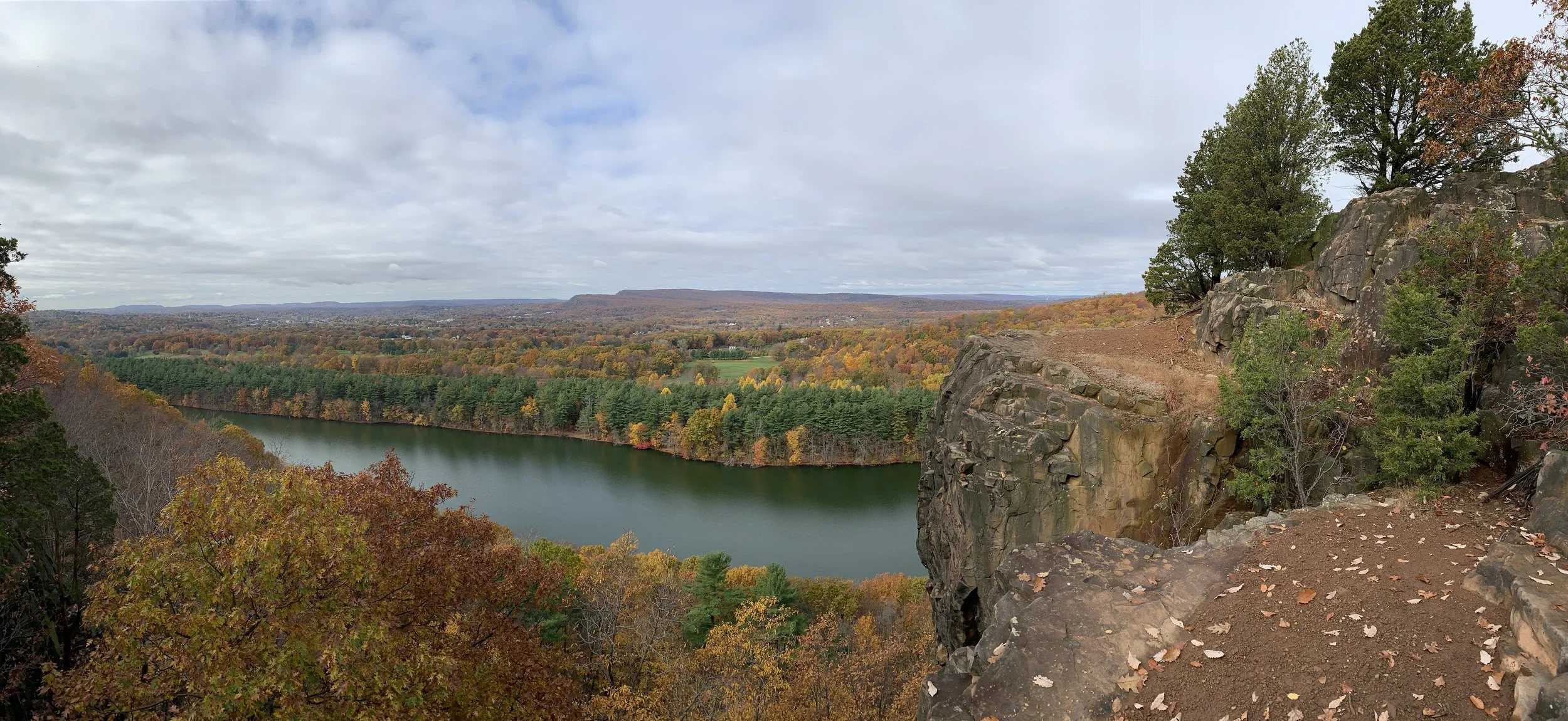
A popular Connecticut hike, Ragged Mountain on the Metacomet Trail offers 500 acres of gorgeous trails. The traprock cliffs also make this park a desirable destination for rock climbers. While the views alone make this park worth exploring, I enjoy taking the interior trails to find relics from the past like the remains of abandoned cars.
DISTANCE: 2.2 - 8.7 miles
LEVEL OF DIFFICULTY: Moderate
PARKING
There are many access points to the trails at Ragged Mountain, but the main trail head accessible from a lot and street parking near 437 West Lane Berlin, Connecticut.
MOUNT HIGBY
Middlefield, Connecticut
ABOUT THE HIKE
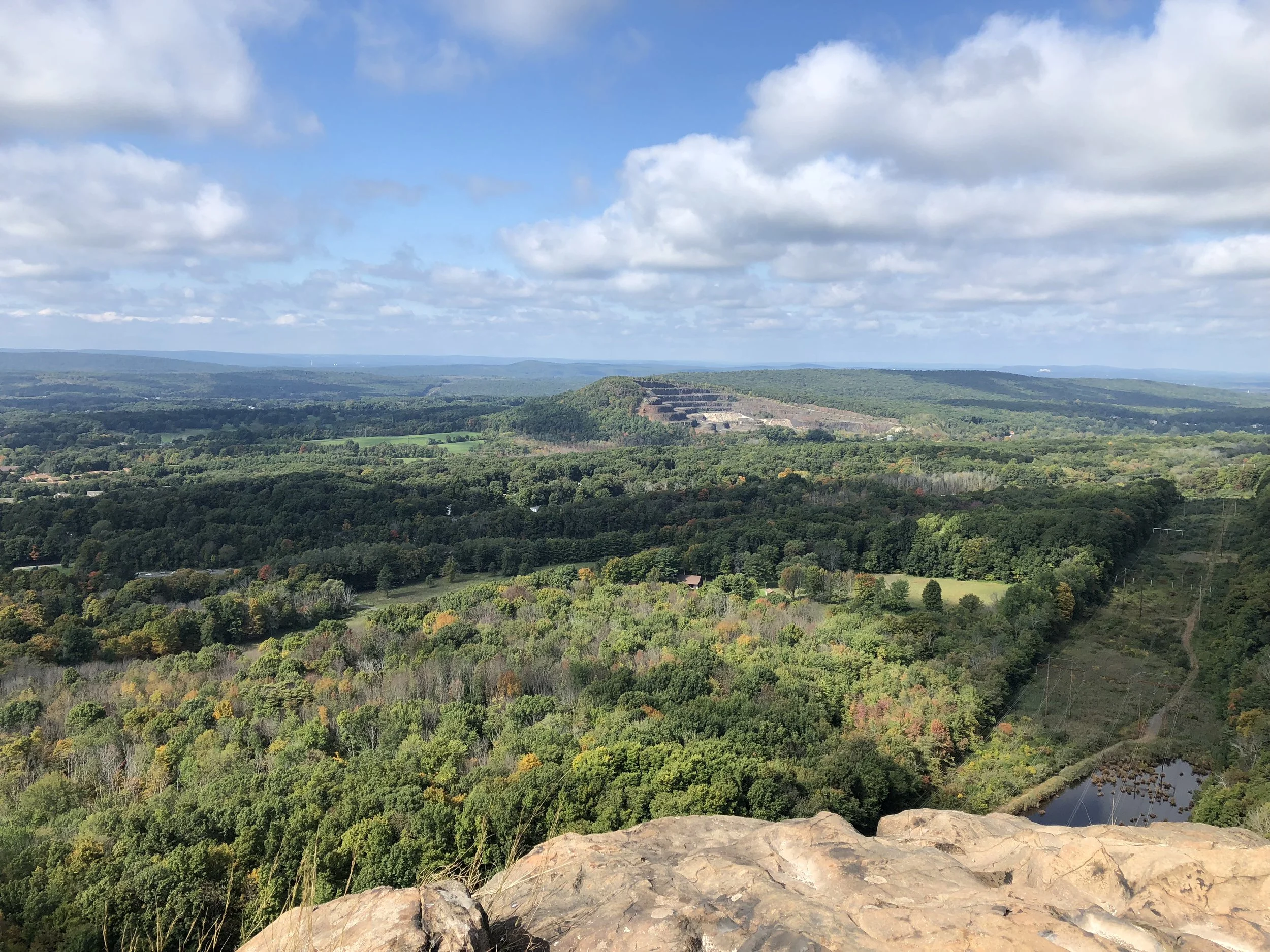
Mount Higby was the first trail I explored when I moved to Middletown and it remains one of my favorite hikes in the state. A moderately challenging hike through the woods opens up to a traprock ridge offering views of Sleeping Giant, Giuffrida Park, Rattlesnake Mountain and beyond.
Although Mount Higby will always hold a special place in my heart, there are a few reasons why I don’t hike it as often as I used to. The first reason is its popularity. Unsurprisingly, I am not the only person who enjoys Higby’s breathtaking panoramic views. Coupled with its central location, it’s extremely rare to not encounter many groups of hikers regardless of the time of day or the season.
Next, Mount Higby’s traprock ridge is fun to climb, but hundreds of loose stones can make the hike down a little harrowing. Exercise extreme caution if you’re making the trek after a rainfall.
Finally, it’s very common to hear gunfire when exploring the trails. Situated at the base of the mountain, the Dingwall-Horan Firearms Training Facility is used by local police and FBI often. The sound from firing range echos off the traprock can be alarming at best.
DISTANCE: 2.6 - 5.3 miles
LEVEL OF DIFFICULTY: Moderate
PARKING
Parking for the main trailhead can be found off route 66 in Middlefield just before the on ramp to 691. Turning around can be difficult, so be careful not to drive past the lot. Mount Higby can also be accessed from Tynan Memorial Park at 129 Higby Road in Middletown and Preston Avenue in Meriden.
DOCTOR FRANCIS GIUFFRIDA PARK
Meriden, Connecticut
ABOUT THE HIKE
Doctor Francis Giuffrida Park has 98 acres of trails for hikers of all ages and experience levels. For an easy walk, take the flat path by the Crescent Lake reservoir lined with pine trees. Just watch out for the roots!
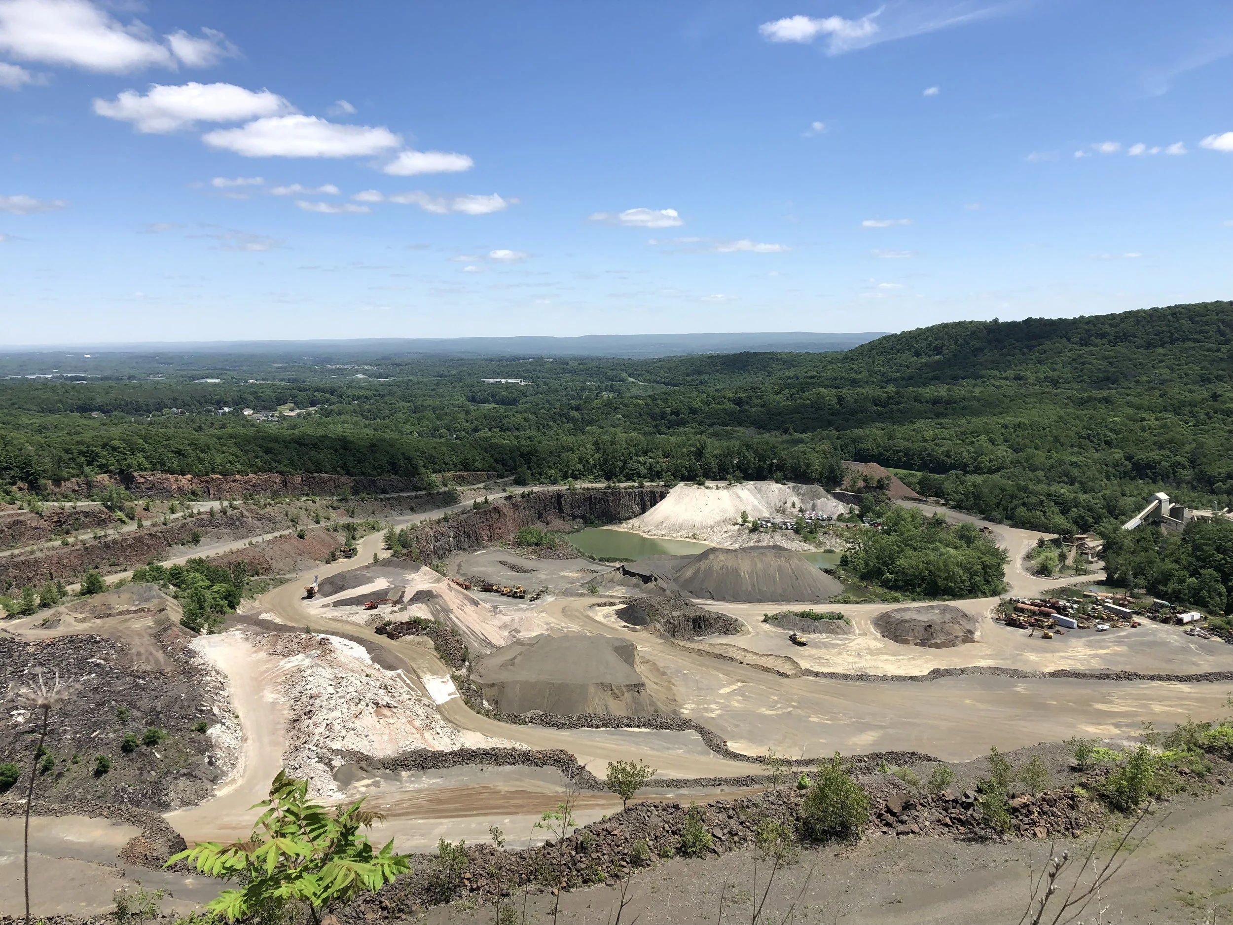
Several trails of varying steepness take hikers up to Chauncey Peak. Continue the trail along the ridge line for more spectacular views. Don’t forget to check out the Quarry on the opposite side of the peak.
Another amazing hike in Giuffrida Park brings you to Lamentation Mountain State Park. These trails are less traveled and still offer beautiful views.
DISTANCE: 2.3 miles
LEVEL OF DIFFICULTY: Moderate / Difficult
PARKING
Ample parking is available from the lot at the park’s entrance off 701 Westfield Road in Meriden.
HUBBARD PARK
Meriden, Connecticut
ABOUT THE HIKE
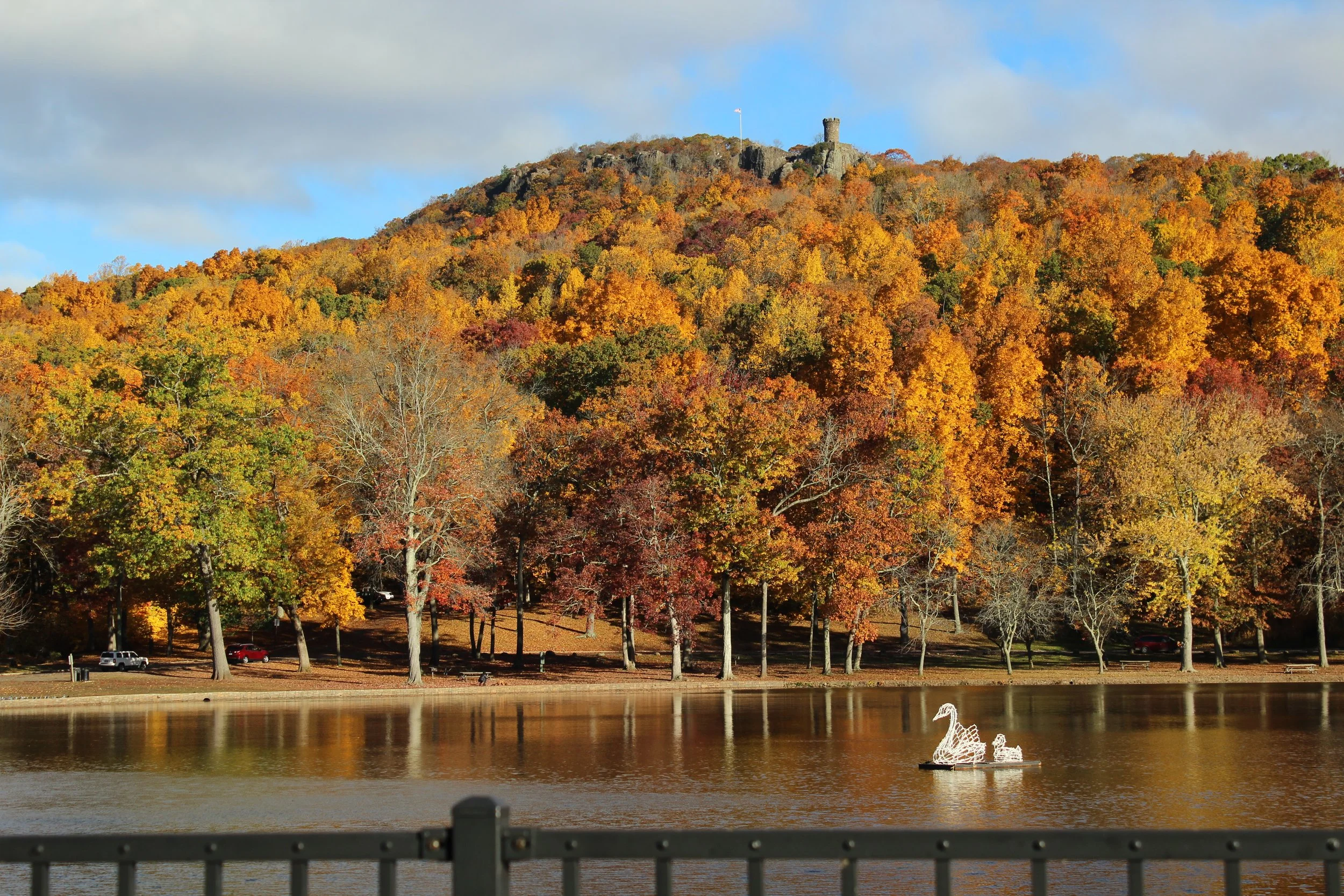
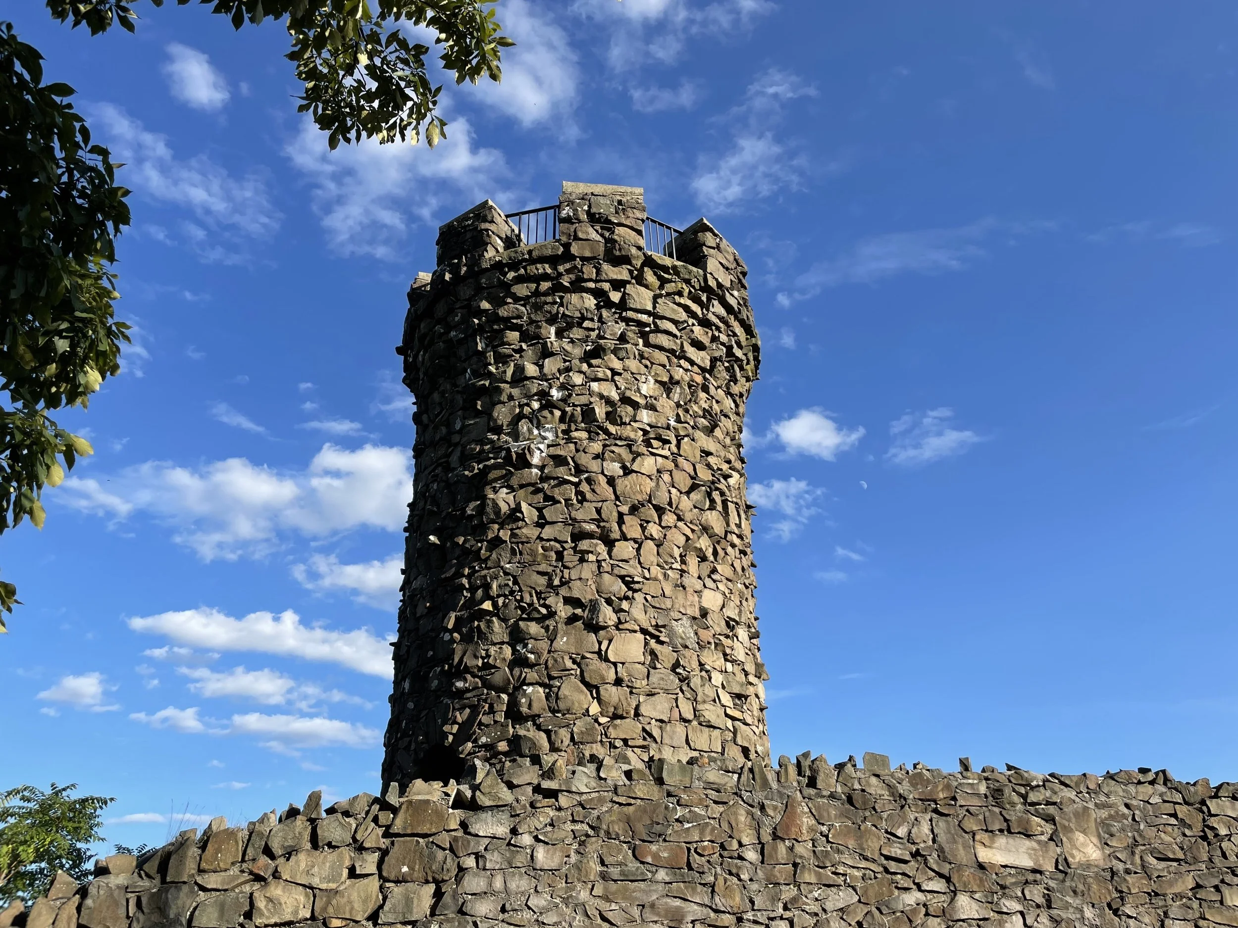
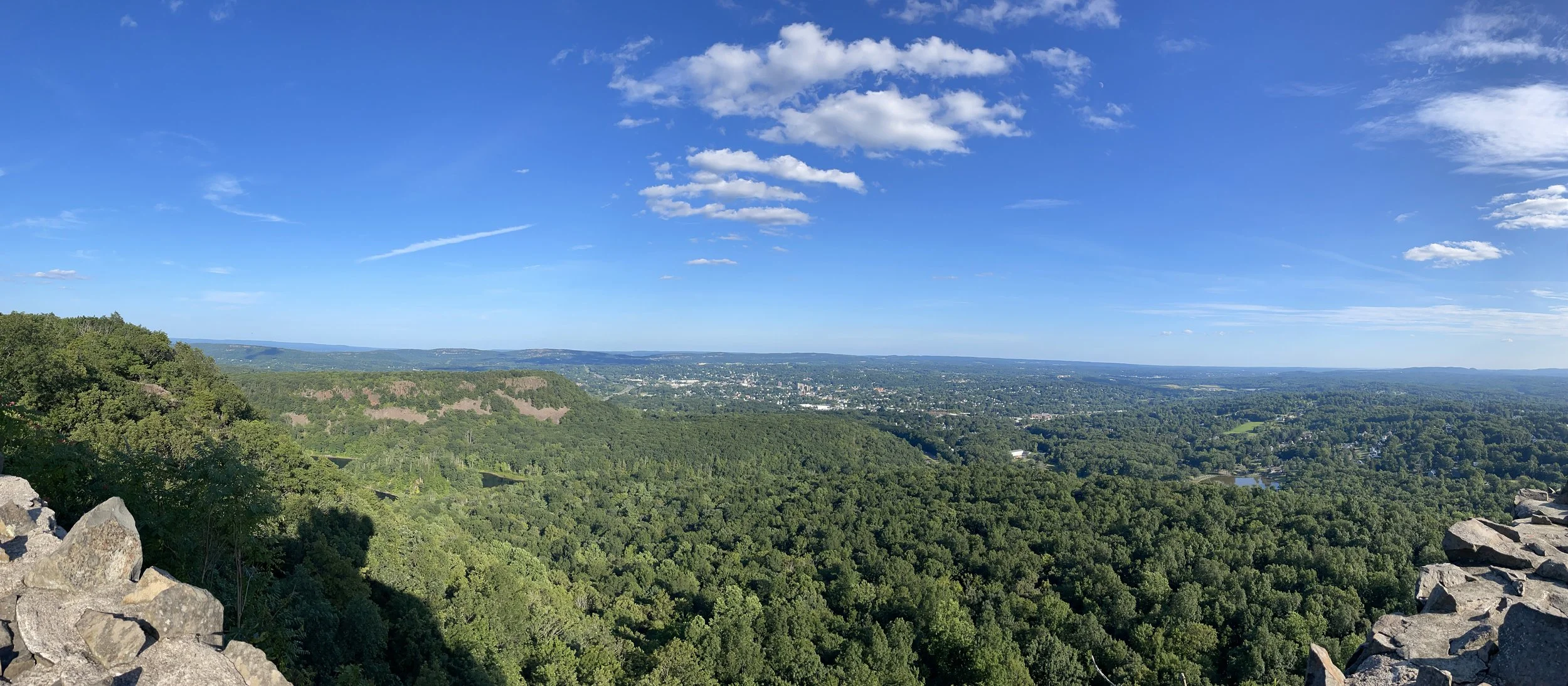
There is an extensive network of trails in Hubbard Park that offer numerous routes to the breathtaking vistas in the the Hanging Hills. The most popular attraction in the 1,800 acre park is Castle Craig. Situated on East Peak, the 32 foot tall trap rock tower offers 360 degree views as far north as Mount Tom in Massachusetts, the Berkshires to the west and the Long Island Sound to the south.
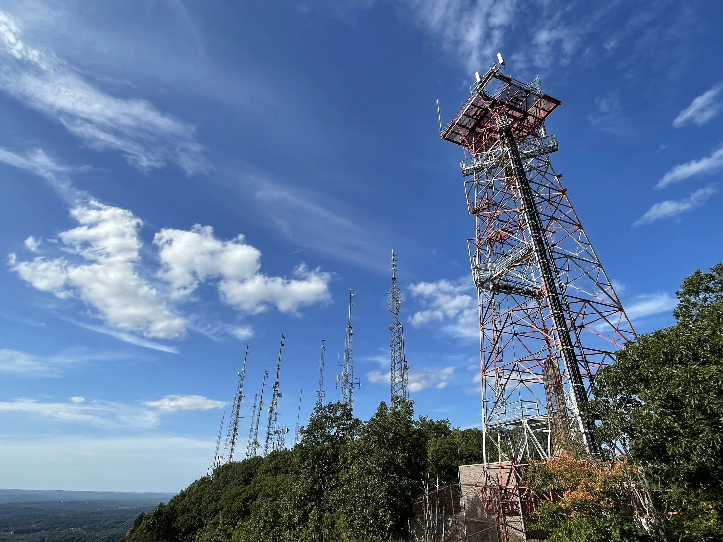
The West Peak of the Hanging Hills are visited less frequently, but are well worth a visit. Hikers can walk out to the ridge next to the massive radio towers that broadcast the FM stations WPKT, WWYZ, WKSS, WDRC-FM, WZMX, WHCN and WMRQ-FM.
If you’re not up for the hike, the road to Castle Craig and the radio towers is open May through October from 10:00 AM to 5:30 PM. Be sure to get beyond the gate before it closes and locks!
A detailed description of the trails and points of interest in Hubbard Park can be found on the Meriden Parks and Recreation website here.
DISTANCE: 2.3 - 4.4 miles
LEVEL OF DIFFICULTY: Moderate / Difficult
PARKING
There are numerous trails at Hubbard Park. East Peak and West Peak can be accessed by all of them, but parking to the most direct routes are inside Hubbard Park at the first corner of Mirror Lake Drive and the parking lot at the corner of Notch Road and Mirror Lake Drive.
EAST ROCK PARK
New Haven, Connecticut
ABOUT THE HIKE
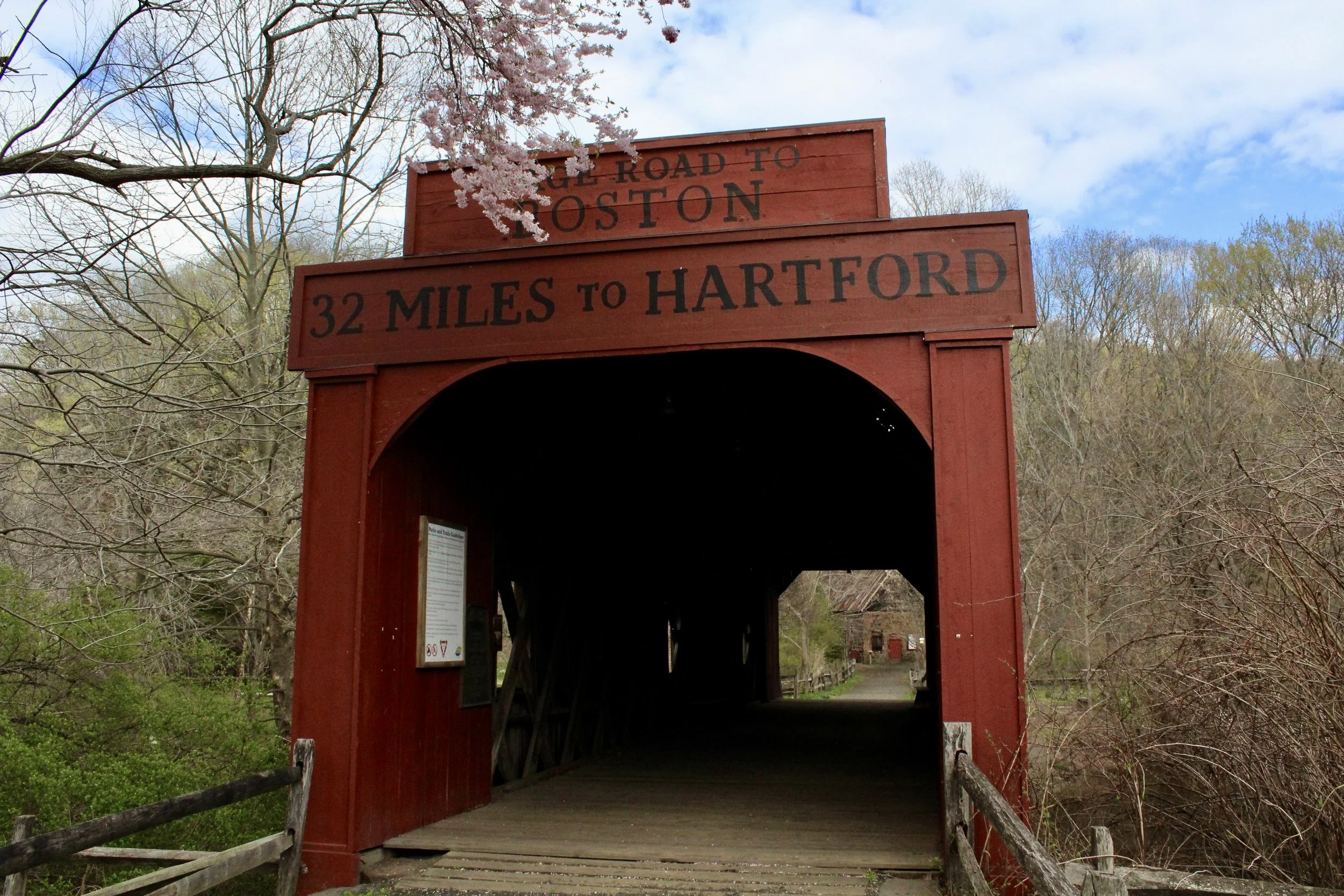
Rising more than 350 feet into the sky, the traprock ridge in East Rock Park is a dramatic backdrop for New Haven, Connecticut. Visitors are able to drive up the paved road to the impressive overlook or hike one of several trails. I recommend taking one of the paths from the parking lot on Whitney Ave near the Eli Whitney Museum & Workshop. The trail begins by crossing through the A. Frederick Oberlin Bridge covered bridge marked: Stage Road to Boston. 32 miles to Hartford. The current bridge is a replica of the original Ithiel Town bridge, commissioned by Eli Whitney in the early 1800’s.
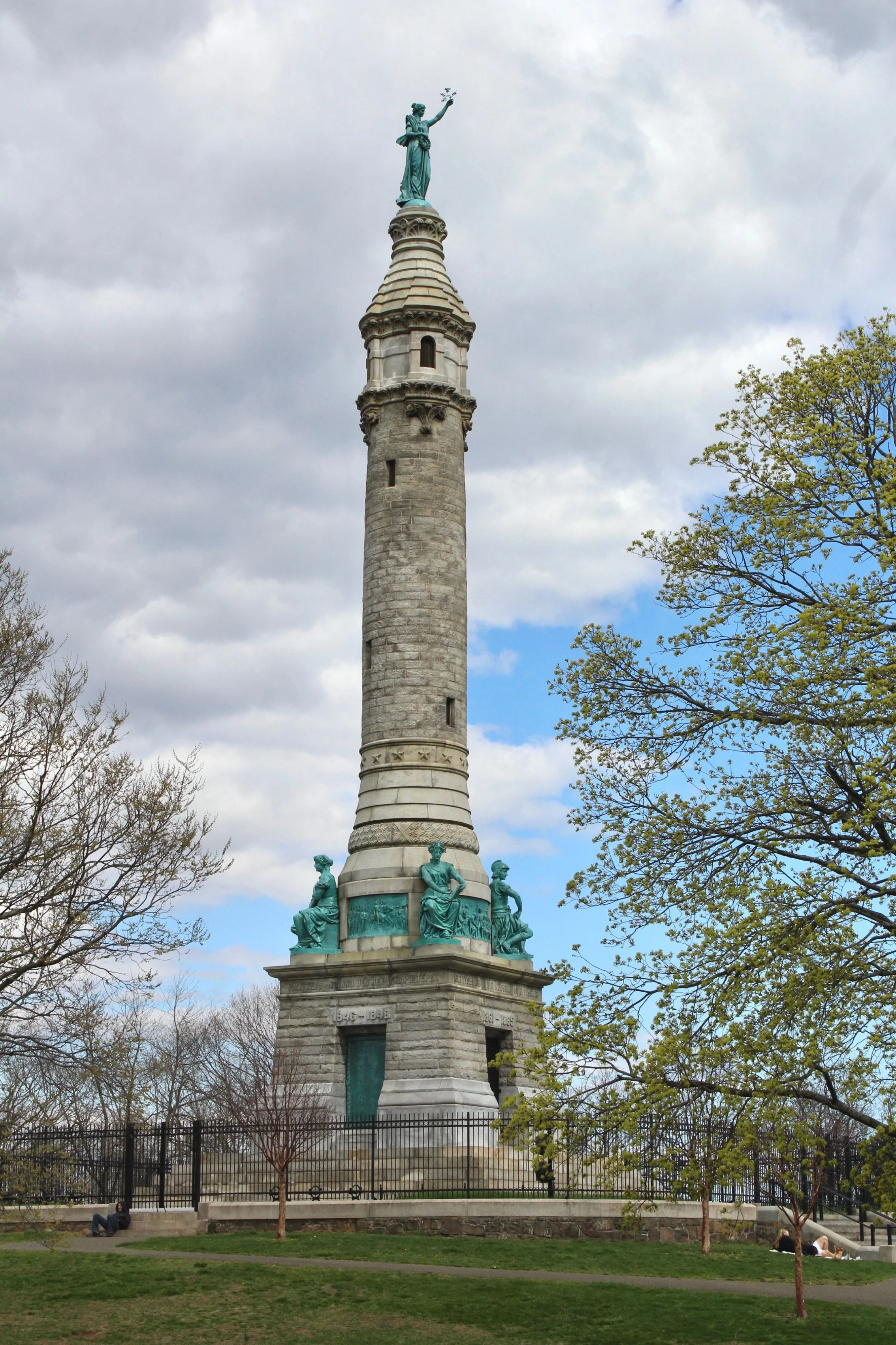
Follow the trails that weave through East Rock Park or walk on the road to reach the Soldiers' and Sailors' Monument at the summit. Completed in 1887, the 112 foot structure honors the residents of New Haven who fought and died in the Revolutionary War, the War of 1812, the Mexican War, and the Civil War.
DISTANCE: 2.1 - 3.4 miles
LEVEL OF DIFFICULTY: Easy / Moderate
PARKING
There are number of parking options for hiking in East Rock Park. There are lots inside the park entrance on Farnam Drive and next to the Soldiers and Sailors Monument.
I recommend parking near the Eli Whitney Museum & Workshop at 915 Whitney Avenue in Hamden.
PEOPLES STATE FOREST
Barkhamsted, Connecticut
ABOUT THE HIKE
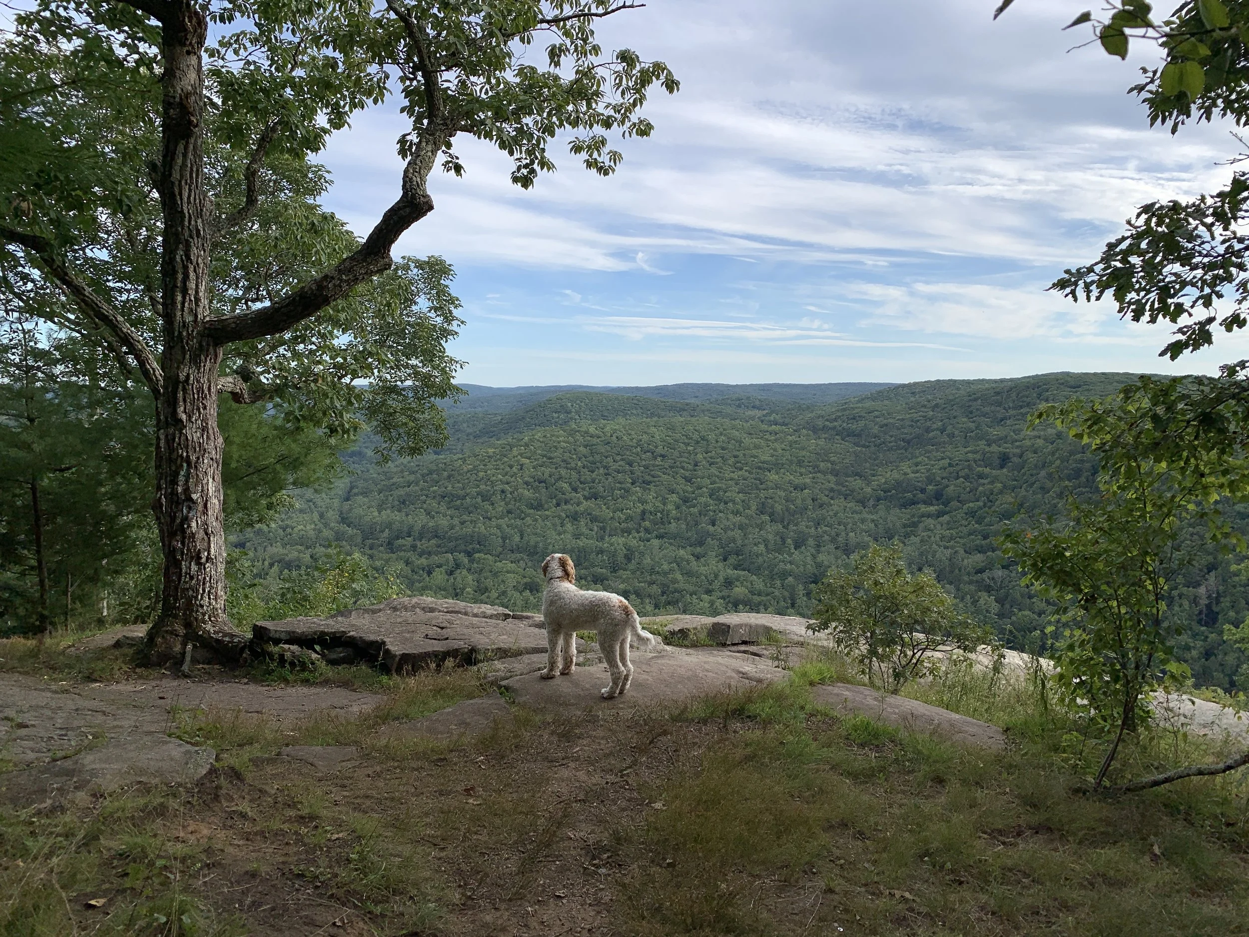
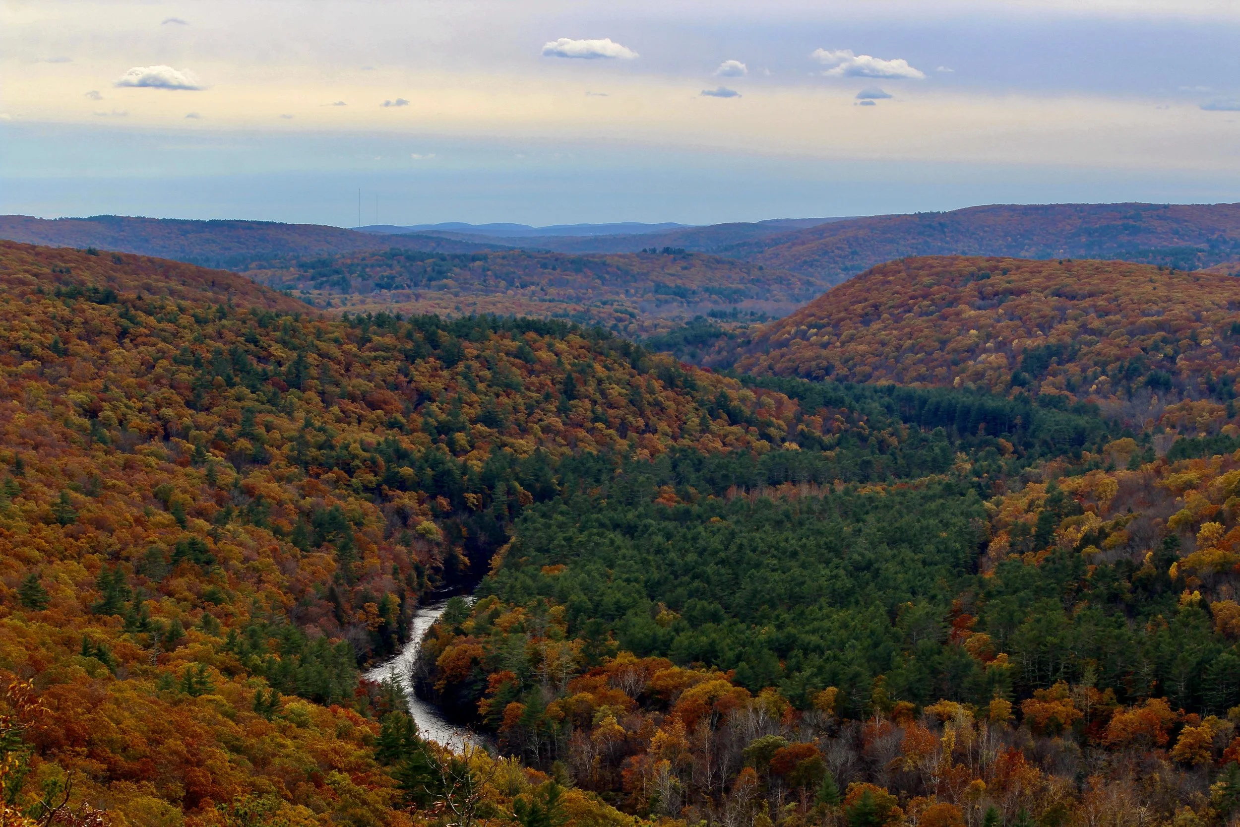
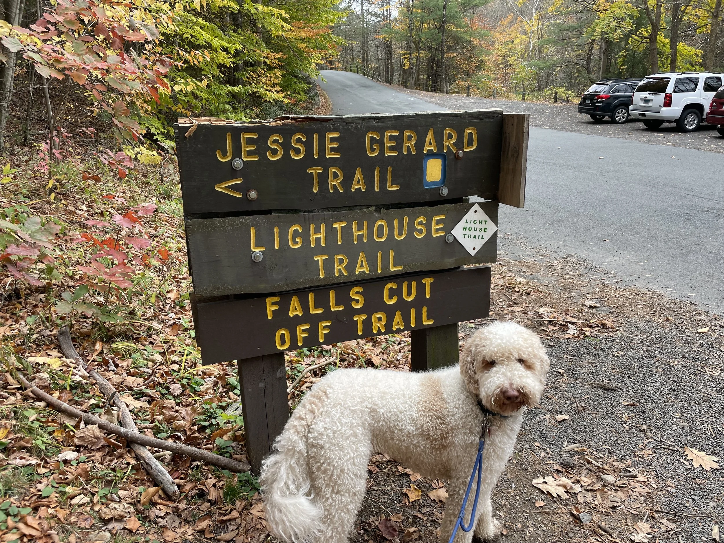
There’s stiff competition in Connecticut for the best hike, but the Jessie Gerard Trail in Peoples State Forest is #1. A challenging ascent next to a waterfall brings visitors to Grand Vista Overlook and Chaugham Lookout. From these stunning vistas it’s easy to imagine what this region looked like hundreds of years ago, before deforestation and industrialization took hold. Come during peak foliage for a truly astonishing view. My pictures don’t begin to do it justice.
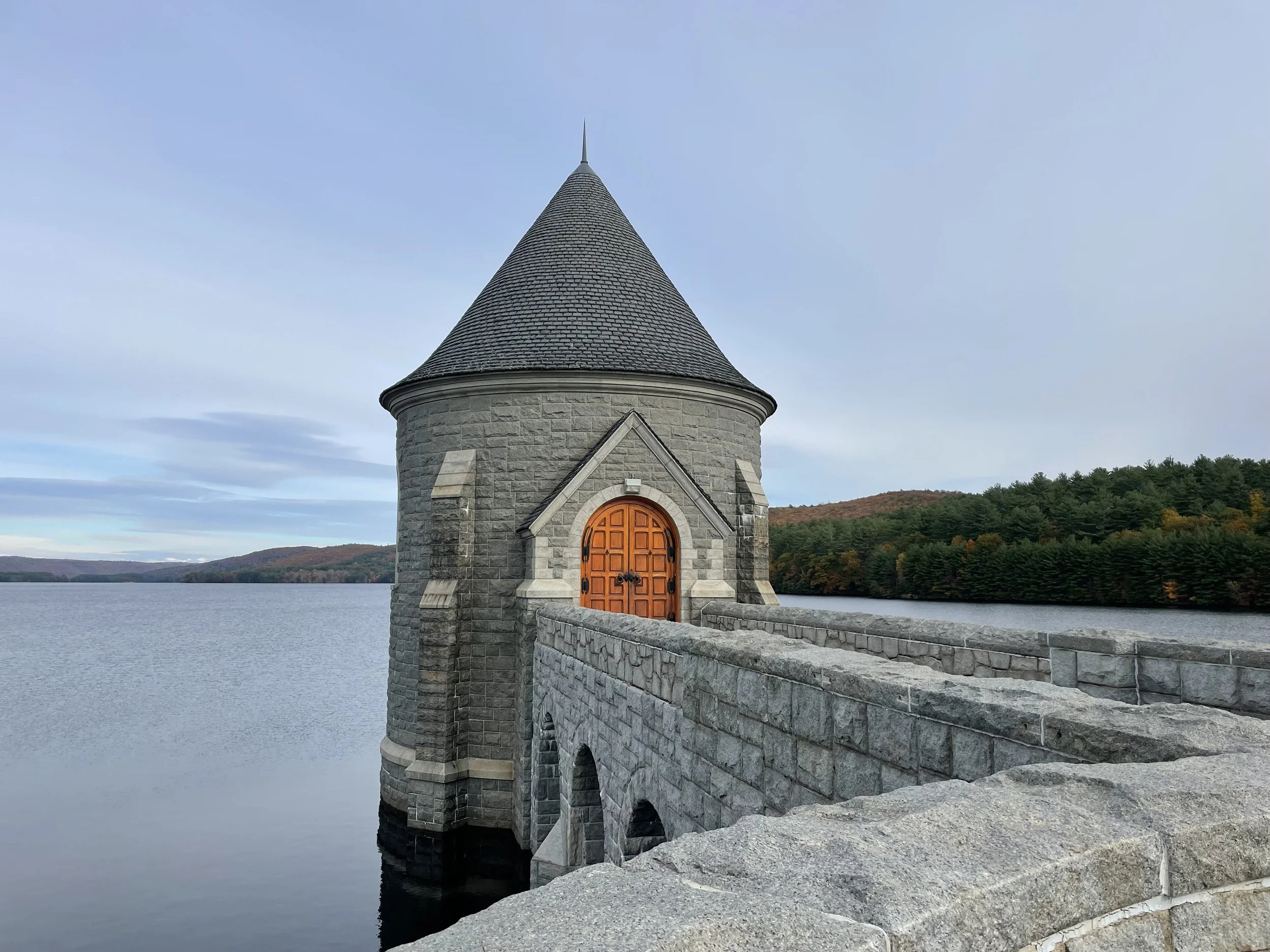
Nestled in the peaceful town of Barkhamsted, there are many other trails worth exploring in the 3,059 acre state forest. Don’t forget to stop by the iconic Saville Dam before or after your visit.
DISTANCE: 3.0 - 5.0 miles
LEVEL OF DIFFICULTY: Moderate
PARKING
Parking for the Jessie Gerard Trail can be found in a small lot off East River Road in Barkhamsted.
LITTLE-LAUREL LIME RIDGE
Seymour, Connecticut
ABOUT THE HIKE
Little-Laurel Lime Ridge Park is not widely known, even to avid Connecticut hikers. The short loop trail leads to a beautiful overlook of the Housatonic River.
DISTANCE: 1.6 miles
LEVEL OF DIFFICULTY: Easy / Moderate
PARKING
The trailhead is accessible from street parking on Tibbets Road in Seymour.
HAYSTACK MOUNTAIN
Norfolk, Connecticut
ABOUT THE HIKE
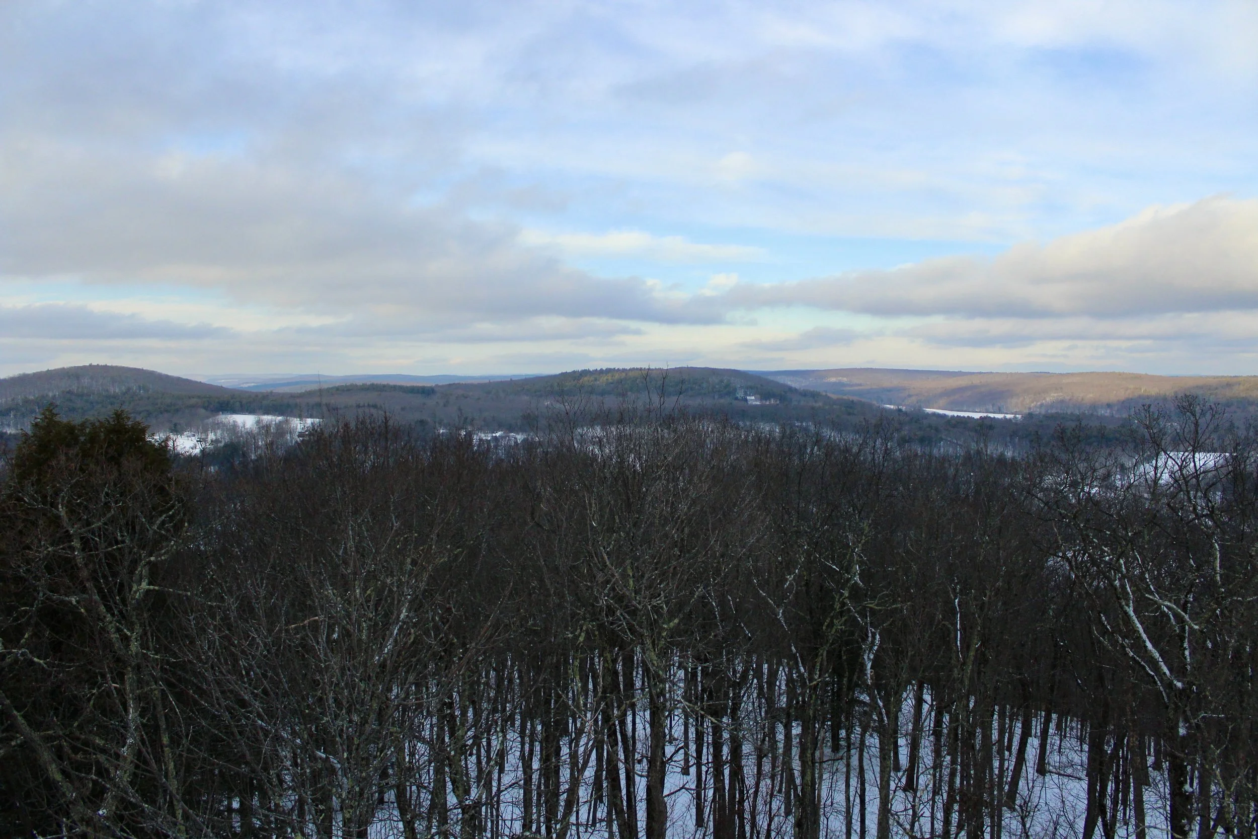
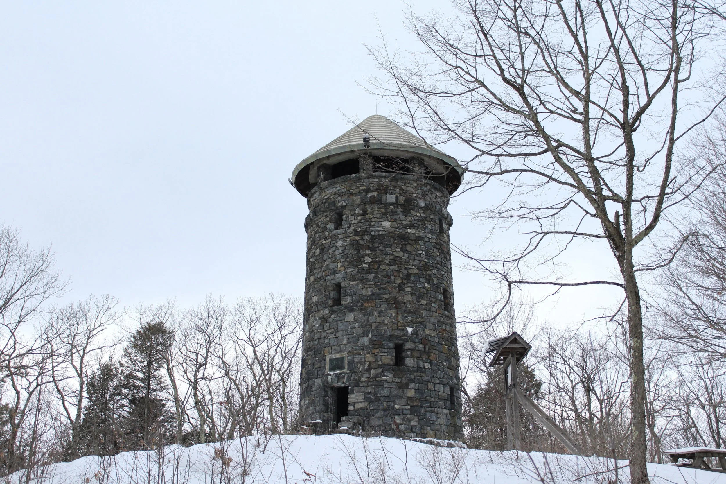
Another underrated destination, Haystack Mountain State Park in Norfolk is a beautiful place to visit in all seasons. It’s a relatively easy hike from the parking lot to the stone tower at the summit. I’ve visited several times, but my favorite was just after a snow fall. The quiet walk through the woods, punctuated by the panoramic winter view of northern Connecticut made it one of my most memorable hikes to date.
DISTANCE: 0.8 miles
LEVEL OF DIFFICULTY: Easy / Moderate
PARKING
Parking is available next to the trailhead to the Haystack Mountain Tower. Follow the road up from the park’s entrance off North Street in Norfolk.
RAND'S VIEW
Salisbury, Connecticut
ABOUT THE HIKE
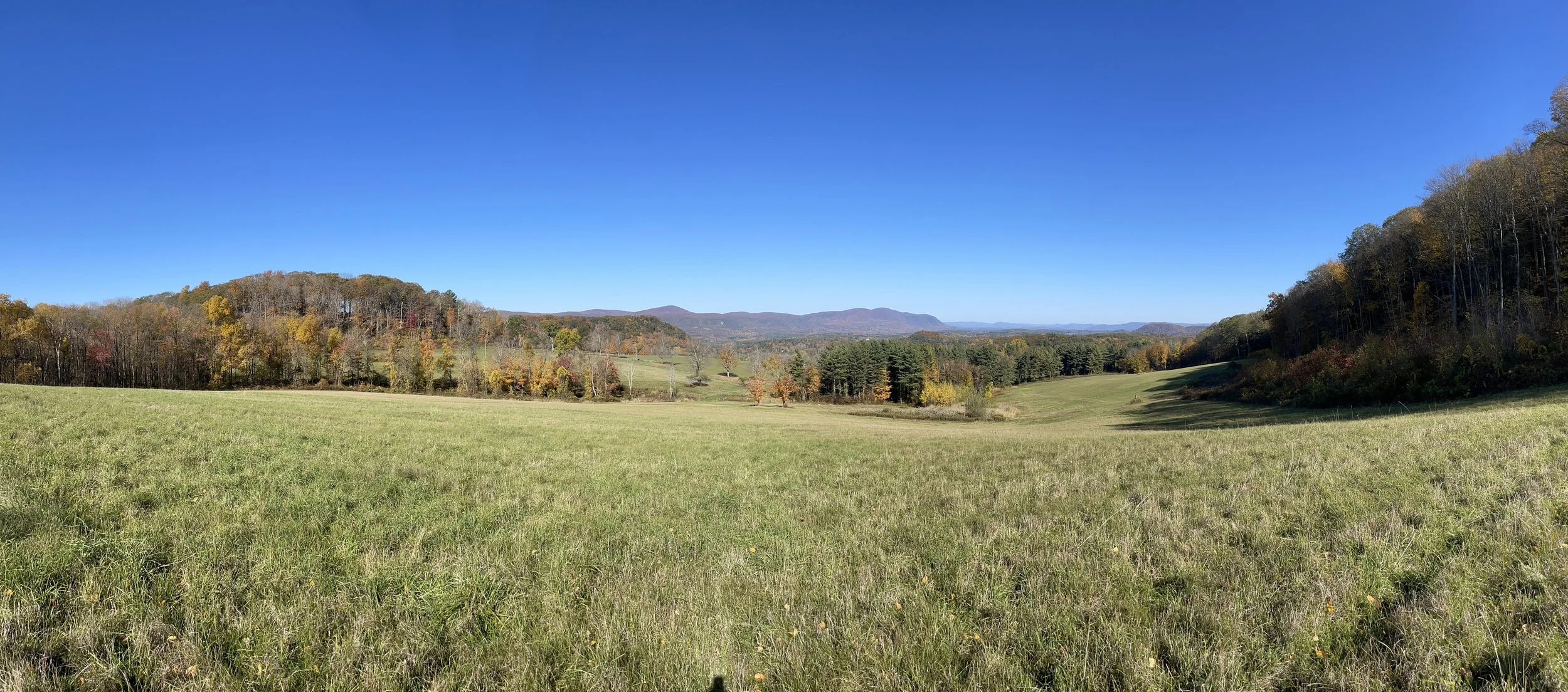
Rand’s View along the Appalachian Trail is the very definition of picturesque. I was able to find a short cut that clever AllTrails users may be able to figure out, but the next closest trailhead is next to the Great Falls Reservoir. After a 2.7 mile hike, passing over Mount Prospect, the trail opens up to a large and idyllic meadow.
DISTANCE: 5.9 miles
LEVEL OF DIFFICULTY: Moderate
PARKING
Trailhead parking for Rand’s View is a lot on Housatonic River Road in Falls Village, Connecticut.
TALCOTT MOUNTAIN
Simsbury, Connecticut
ABOUT THE HIKE
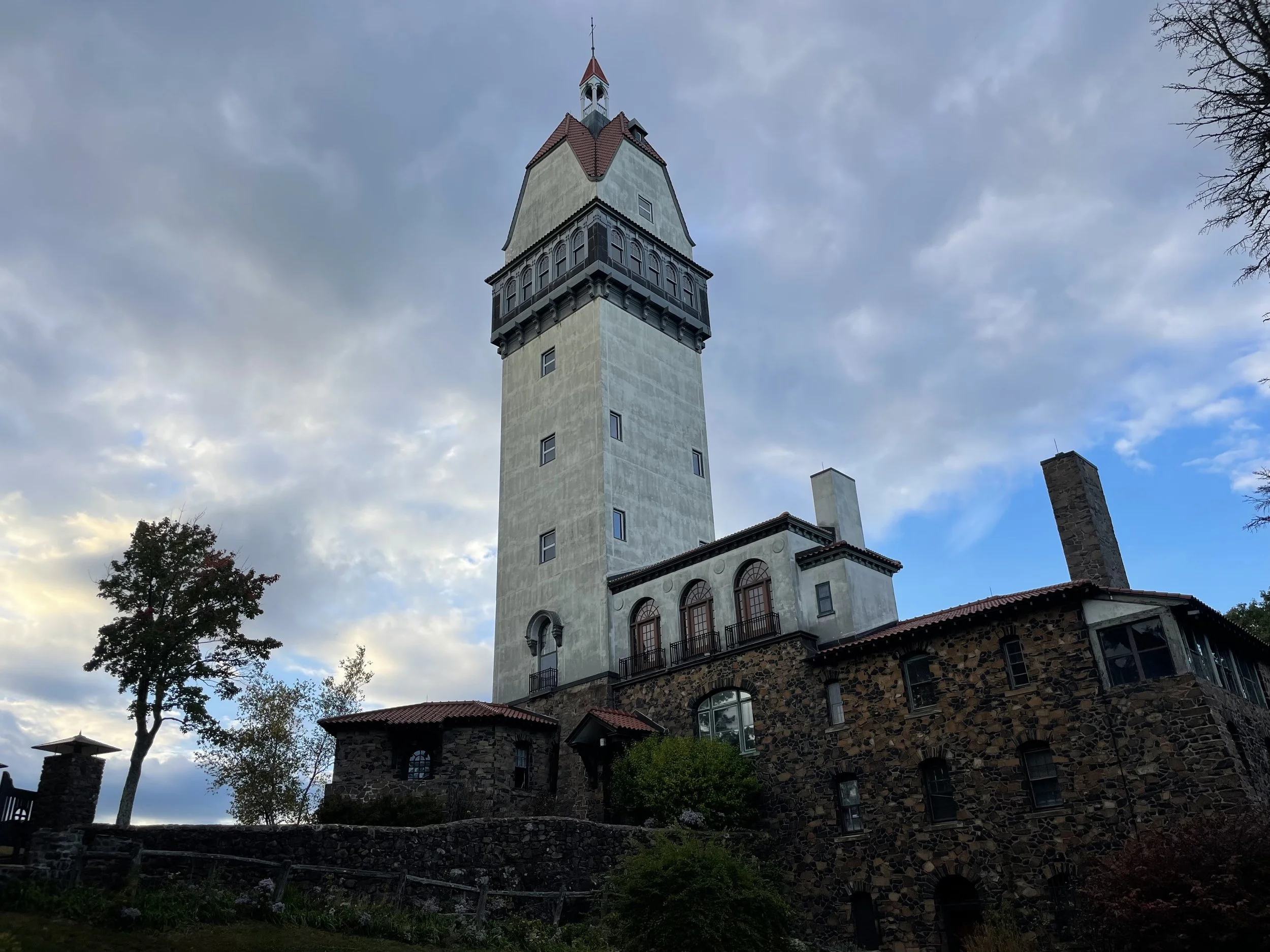
The Heublein Tower is the focal point of Talcott Mountain State Park and is only accessible to visitors on foot. A steep half mile hike opens up to the scenic ridge line on the Metacomet Trail. It’s a half mile more to reach the base of the tower. At 165 feet and six stories tall, the Heublein Tower is an awe-inspiring.
Guests are able to go inside the museum Friday – Monday from 10:00 AM to 4:00 PM. Walk up to the top for a stunning 360 degree view!
For a more detailed history of the Heublein Tower, visit the Friends of the Heublein Tower’s website.
DISTANCE: 4 miles
LEVEL OF DIFFICULTY: Moderate / Difficult
PARKING
The most convenient parking to take the trails up to the Heublein Tower is the lot on Summit Ridge Drive in Simsbury.
MOUNT MISERY
Voluntown, Connecticut
ABOUT THE HIKE
Pachaug State Forest is the largest in Connecticut, spanning 26,477 acres and 6 towns: Voluntown, Griswold, Sterling, Plainfield, North Stonington, and Preston.
While there are numerous hikes through the park, the summit of Mount Misery in Voluntown offers one of the best vistas in eastern Connecticut. The most direct trail to the top is a 1.9 mile loop.
DISTANCE: 1.9 - 9.4 miles
LEVEL OF DIFFICULTY: Moderate
PARKING
The closet parking to access the trails to Mount Misery is through the Pachaug State Forest entrance at 123 Ekonk Hill Road in Voluntown. Continue down Headquarters Road past the Chapman Campground. Street parking and multiple small lots are available.
MOHAWK MOUNTAIN
Cornwall, Connecticut
ABOUT THE HIKE
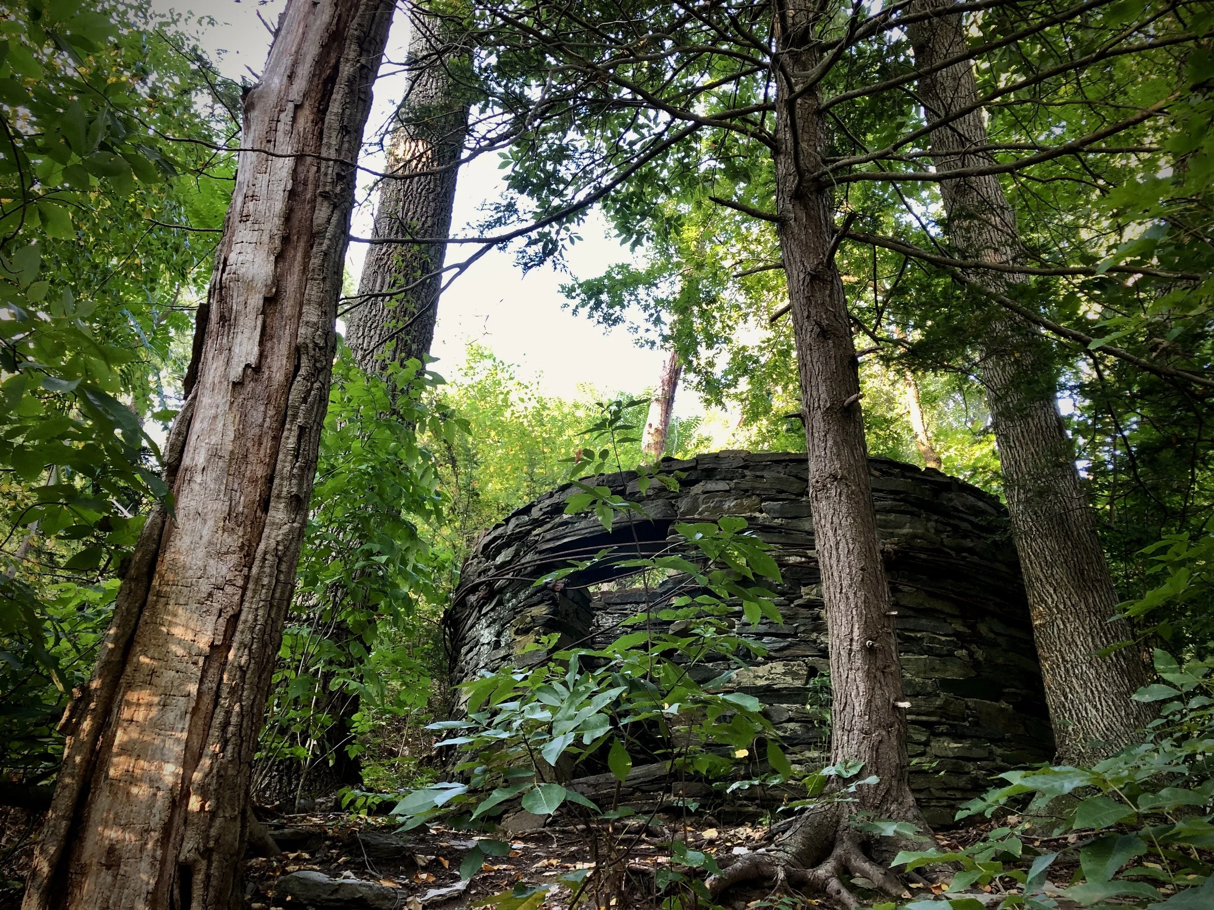
Mohawk Mountain in northwestern Connecticut has so much to offer visitors. I was originally drawn to the state park by the ruins of Cunningham Tower, a stone structure dating back to the early 1900s, but I was most impressed with the vista at the Mohawk Overlook. This is the perfect place to enjoy a picnic lunch and take in the panoramic views.
DISTANCE: 2.1 miles - 5.9 miles
LEVEL OF DIFFICULTY: Easy / Moderate
PARKING
There are numerous trails and places to park at Mohawk State Forest. The closet parking to Cunningham Tower is a small lot on Toumey Road in Goshen. From there, hikers can follow the trail to the overlook.
BEAR MOUNTAIN
Salisbury, Connecticut
ABOUT THE HIKE
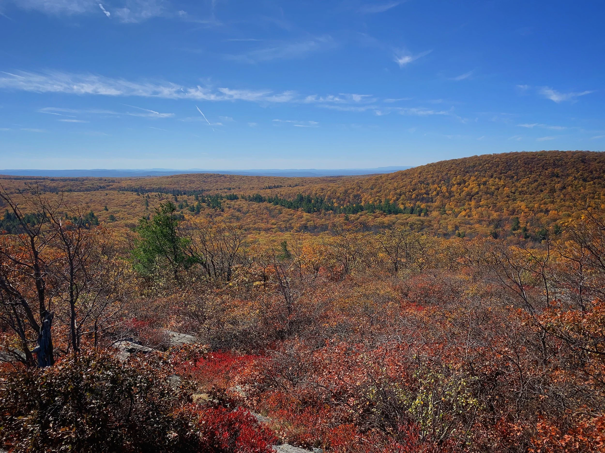
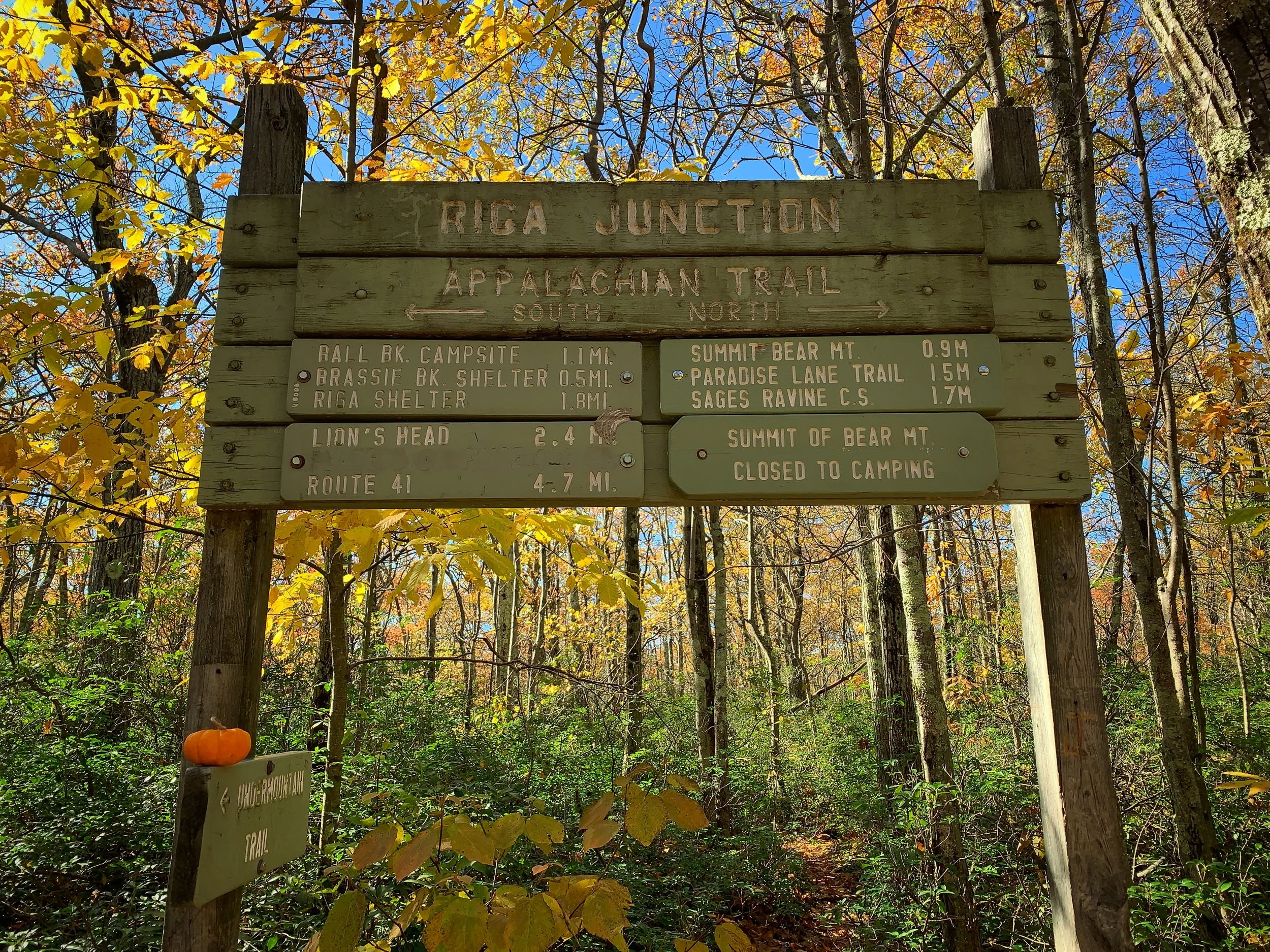
If you’re looking for a destination with a wow-factory, look no further than Bear Mountain. Located in mere miles from both the New York and Massachusetts borders, this is the most difficult hike on this list by far. It’s a steady ascent on the Under Mountain Trail in Mount Riga State Park to connect to the Appalachian Trail. From there it’s just shy of a mile to reach the Bear Mountain summit.
If you enjoy solitude on your hikes, Bear Mountain might not be your favorite. The incredible views attract visitors from miles around. Expect the trails to be crowded on the weekends.
DISTANCE: 6.1 miles
LEVEL OF DIFFICULTY: Difficult
PARKING
A parking lot off Route 41 / Under Mountain Road allows access to the trailhead to Bear Mountain. The lot fills up quickly on the weekends. Parking is also available on the street.
LOVER'S LEAP
New Milford, Connecticut
ABOUT THE HIKE
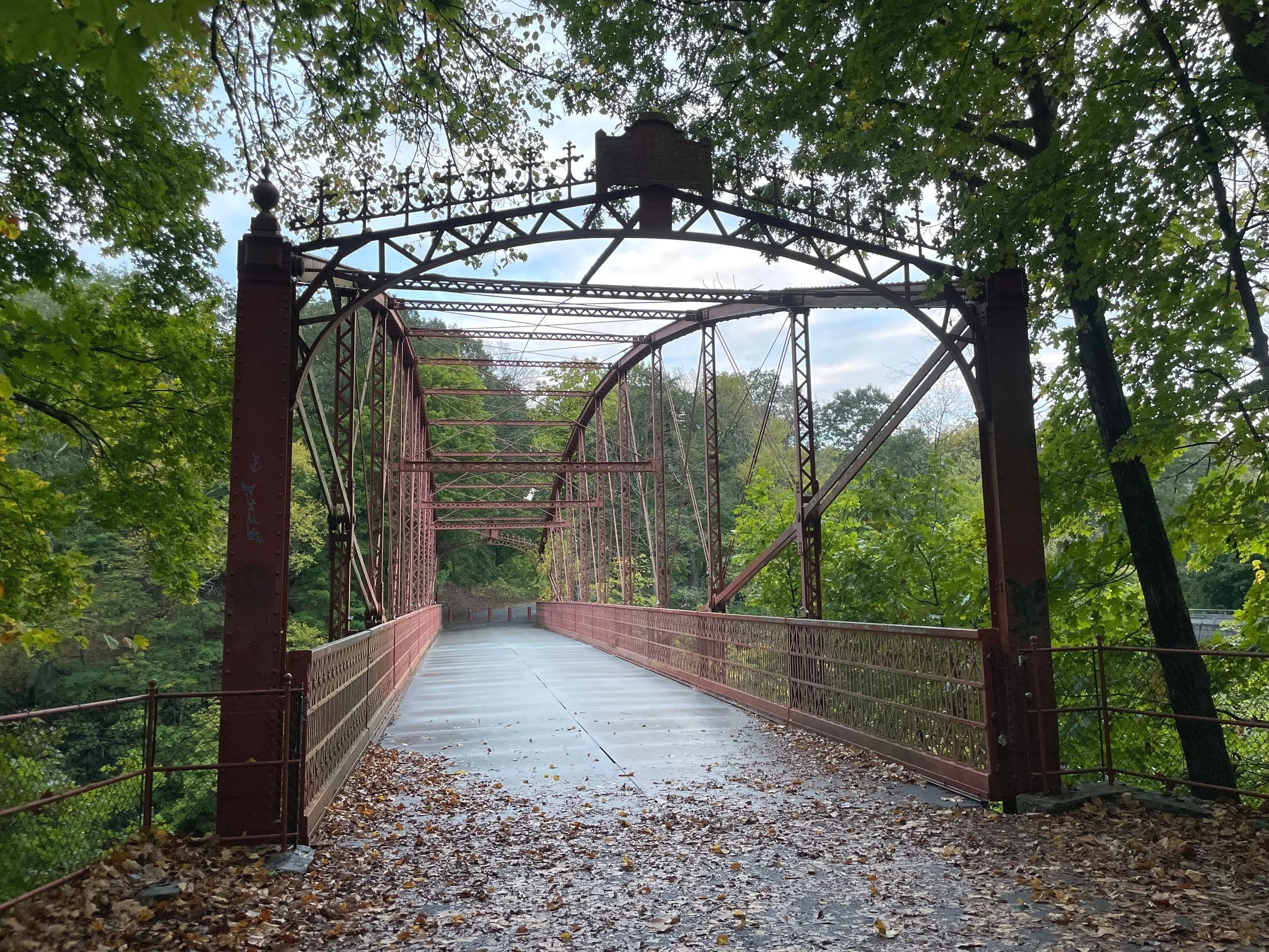
As the name might suggest, local lore depicts a dark history of what is now known as Lover’s Leap State Park. According the legend, Pootatuck Indian Chief Waramaug’s daughter, Princess Lillinonah, and her lover plunged to their deaths from a cliff into the Housatonic River below sometime in the 1700s.
Hundreds of years later, Lover’s Leap remains a popular attraction for its beautiful historic iron bridge and ruins. It’s a relatively easy walk with memorable vista overlooking the Housatonic.
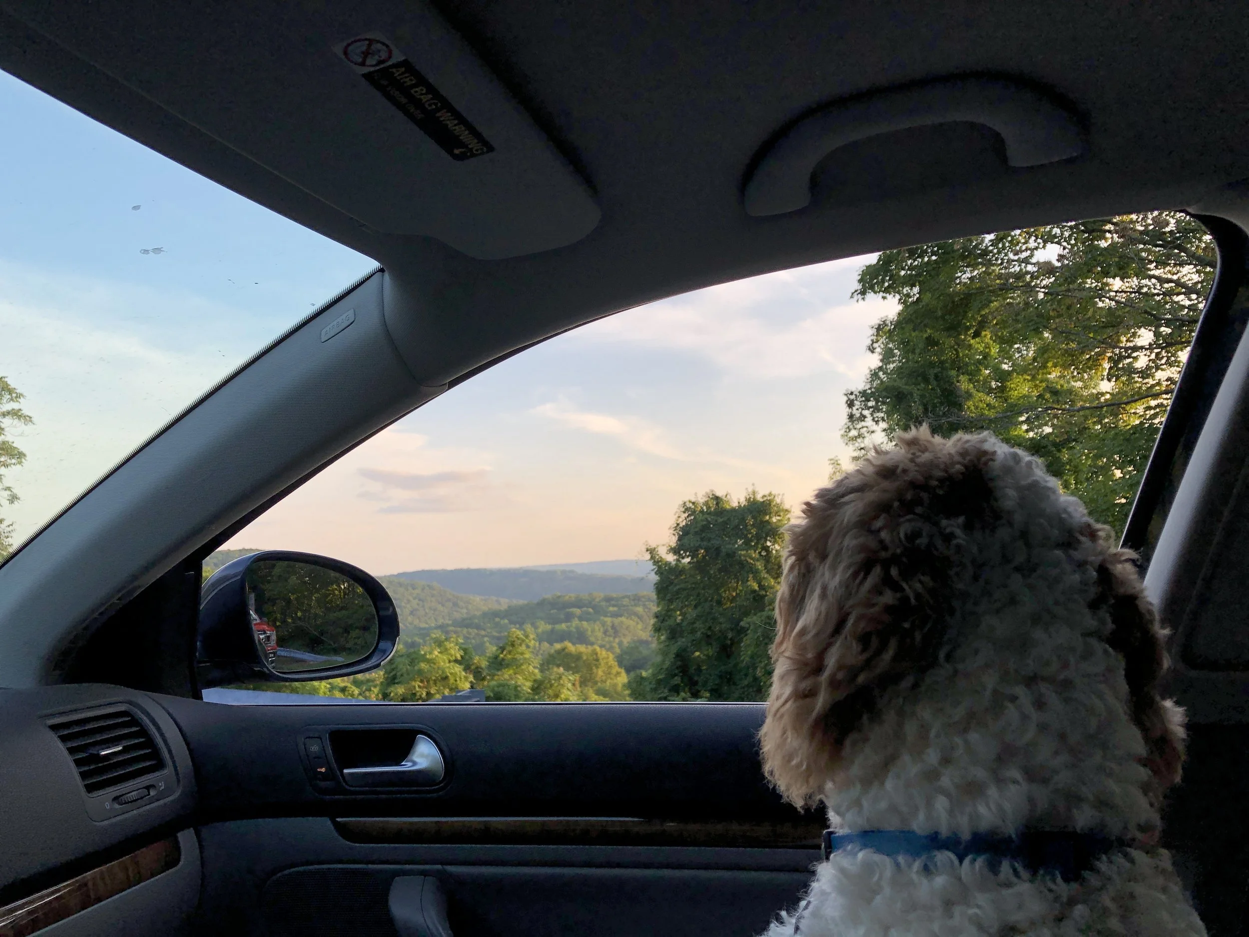
Be sure to visit to the Lover's Leap Lookout, just a short drive away. The pull off is located at 275 New Milford Road W in Bridgewater, Connecticut.
DISTANCE: 1.2 - 2.5 miles
LEVEL OF DIFFICULTY: Easy
PARKING
Ample parking is available in the parking lot at 178 Short Woods Road in New Milford.
SOAPSTONE MOUNTAIN
Somers, Connecticut
ABOUT THE HIKE
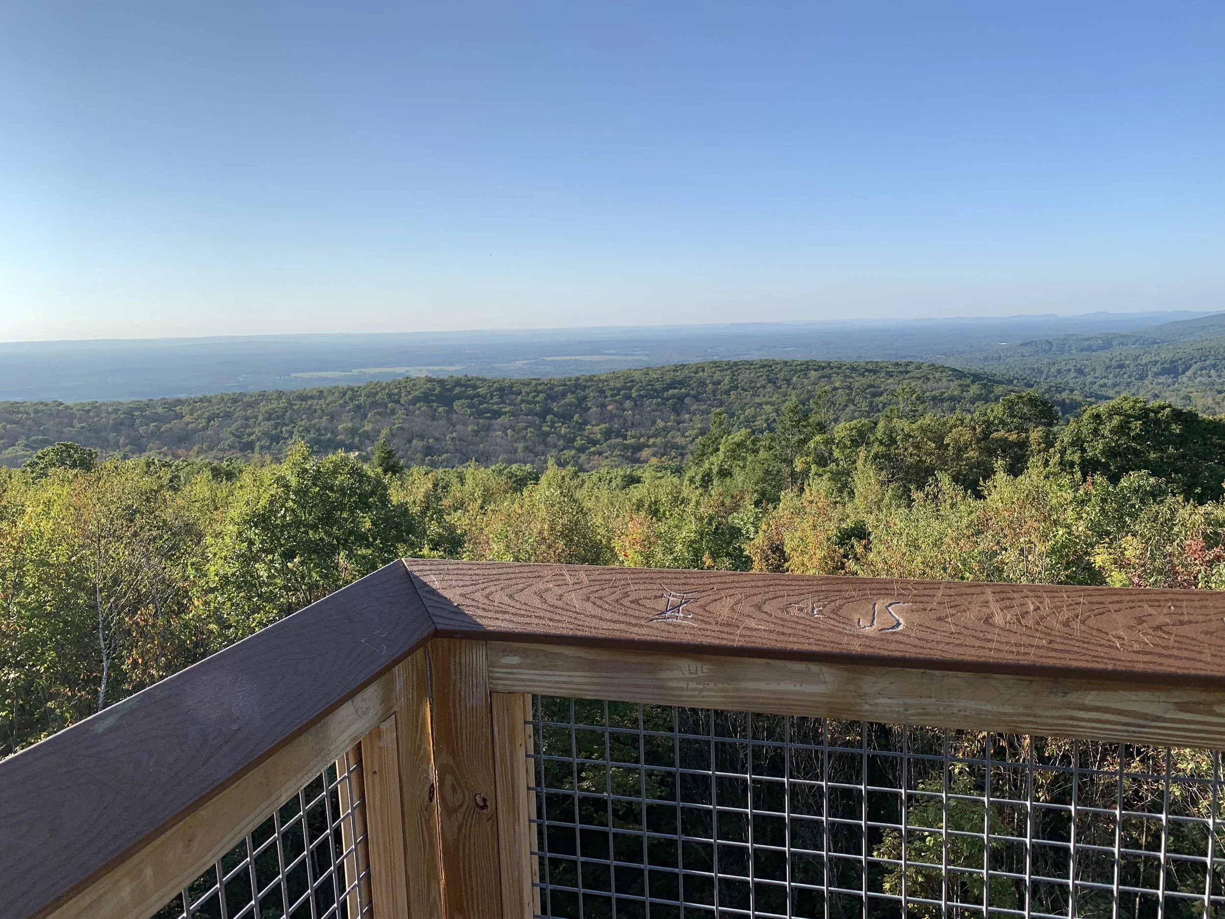
Soapstone Mountain in Shenipsit State Forest offers one of the best viewpoints in eastern Connecticut. Purchased by the state in the late 1920s, a fire tower was erected. After falling into disrepair, a new observation tower with a large viewing platform was rebuilt in 2019.
DISTANCE: 1.4 - 2.3 miles
LEVEL OF DIFFICULTY: Moderate
PARKING
The Shenipsit State Forest contains a large network of trails, but the best parking to hike to the observation tower is the lot at the park’s entrance at 263 Gulf Road in Somers.
FORT GRISWOLD BATTLEFIELD
Groton, Connecticut
ABOUT THE HIKE
On September 6, 1781, General Benedict Arnold commanded a group of 1,600 British soldiers who descended on Groton. The 165 militia and local volunteers led by Colonel William Ledyard were severely outnumbered. The entire battle lasted only 40 minutes and left 85 Americans dead, including Colonel Ledyard, 5 nearly dead, and 36 severely wounded.
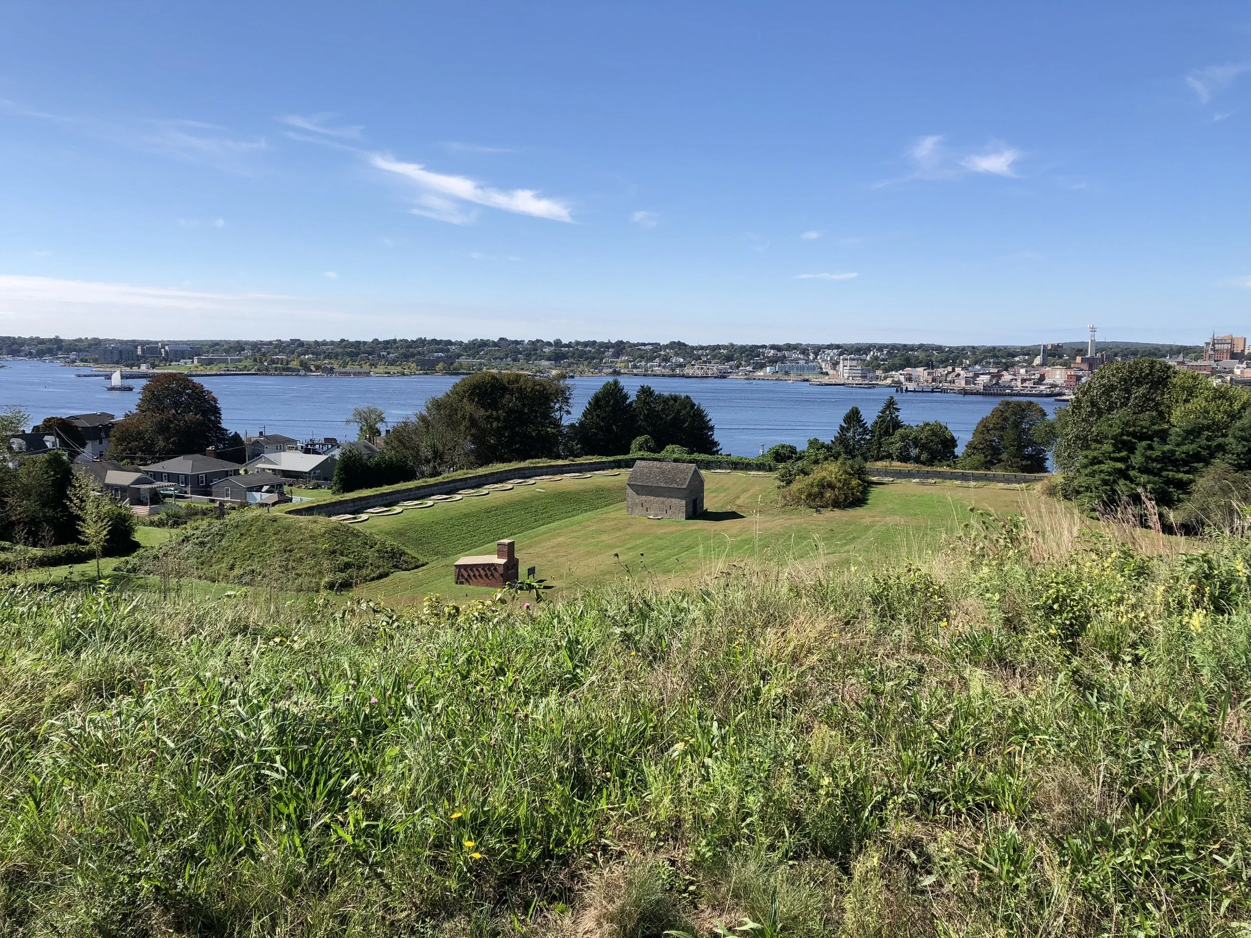
Today, the site is now Fort Griswold State Park. The grounds include a tall granite monument, a Revolutionary War Fort, the Monument House Museum and the Ebenezer Avery House. The grounds are open year round for visitors to explore.
DISTANCE: 0.2 - 0.5 miles
LEVEL OF DIFFICULTY: Easy / moderate
PARKING
There is street parking for Fort Griswold Battlefield State Park on Smith Street and Monument Street. A small parking lot at the corner of Latham Street and Thames Street is a short walk from the park. A seasonal water taxi operated by the Thames River Heritage Park brings visitors from City Pier and Fort Trumbull State Park in New London to a dock at 301 Thames Street, blocks from Fort Griswold.


