BEST CONNECTICUT WALKS BY THE WATER
NAUGATUCK STATE FOREST
Beacon Falls, Connecticut
ABOUT
The walk along Spruce Brook in the Naugatuck State Forest is a dream come true for waterfall lovers. Five waterfalls cascading over huge moss-covered boulders makes this one of the most magnificent hikes in Connecticut.
Take the Spruce Brook Loop for a relatively easy stroll. If you’re up for a little climb, walk the Tobys Rock Mountain Inner Loop. The titular attraction offers amazing panoramic views over Route 8 and beyond. Another viewpoint, pictured below, can be accessed from a trail across the street from Tobys Rock.
DISTANCE: 1.2 - 2.7 miles
LEVEL OF DIFFICULTY: Easy / Moderate
PARKING
The best parking to hike the Spruce Brook and Toby’s Rock trails is the lot at 292 Cold Springs Road in Beacon Falls.
BARN ISLAND
Stonington, Connecticut
ABOUT
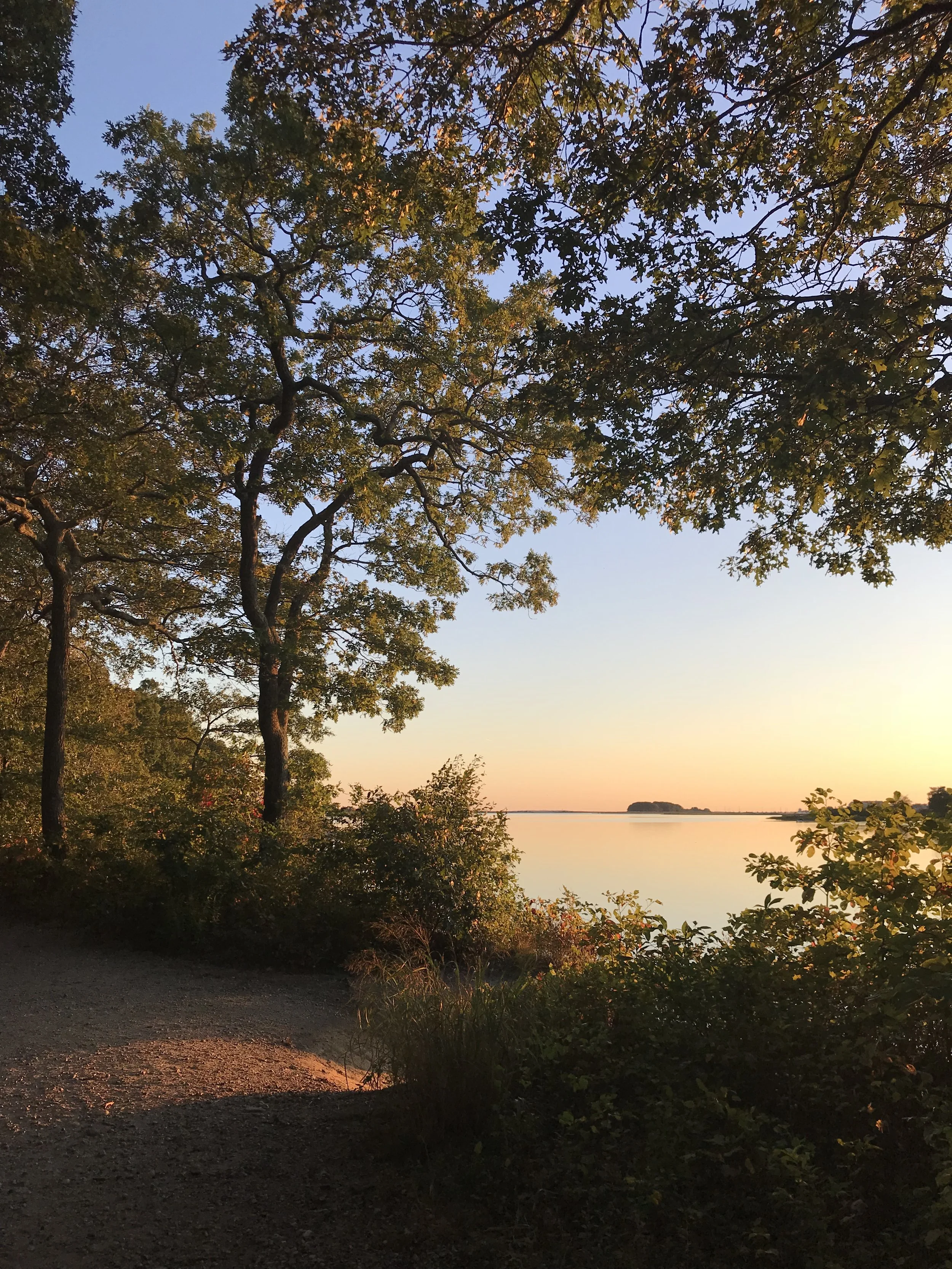
Located in my hometown of Stonington, Connecticut, Barn Island Wildlife Management Area is where I fell in love with hiking. There are miles of trails through open fields, woodlands and tidal marshes throughout 1,000 acres of protected space. It’s an undeniably peaceful place to explore.
As its name might suggest, Barn Island Wildlife Management Area is home to a wide variety of animals, particularly birds. The Connecticut Audubon Society states that the land provides nesting and feeding habitats for species like snowy egrets, short-eared owls, and blue herons.
The area also carries immense historical significance. About a half-mile from the parking lot off Stewart Road on the Urban Fire Break Trail stands a sign marking the ‘Venture Smith's Freedom Site'. Beside it are the remains of an 18th century homestead that once belonged to Smith. As a young boy, Venture Smith was stolen from his home in Africa and sold into slavery in New England. After years of back-breaking labor, Smith was able to purchase his freedom and 26 acres of land that is now part of Barn Island Wildlife Management Area.
DISTANCE: 1.5 - 3.1 miles
LEVEL OF DIFFICULTY: Easy
PARKING
The main parking lot for hiking at Barn Island is down an unpaved road adjacent to 74 Stewart Road in Pawcatuck.
ENDERS FALLS
Granby, Connecticut
ABOUT
Encompassing 2,103 acres in Barkhamsted and Granby, the main draw of Enders State Forest are the falls. Walk the short path downstream to safely enjoy the natural beauty of the area.
While it may be tempting, resist the urge to wander off the trail. Conditions can be dangerously slippery.
DISTANCE: 0.6 - 1.0 mile
LEVEL OF DIFFICULTY: Easy
PARKING
Parking for the trails at Enders Falls State Park is available in a lot at 174 CT-219 in Granby.
SALMON RIVER
Colchester, Connecticut
ABOUT
Salmon River State Forest spans roughly 6,000 acres in Hebron, Marlborough, Colchester, East Haddam, and East Hampton, Connecticut. Stunning in all four seasons, this place is truly a gem.
The most charming attraction in Salmon River State Forest is the Comstock Bridge. Originally built in 1840, it is one of only a few historic covered bridges left in Connecticut. If you’re planning on hiking, fishing or cooling off in the river, be sure to start your visit here.
Just under a mile and a half from the covered bridge, the Colchester section of the Air Line Trail passes through the state forest. The 50-mile rail trail runs from Portland to Thompson, but once stretched from Boston to New York City. The Air Line Trail is flat and very well maintained, making it a popular destination for hikers, bikers and equestrians a like.
DISTANCE: 1.0 - 6.6 miles
LEVEL OF DIFFICULTY: Easy / Moderate
PARKING
There are multiple places to park in Salmon River State Forest. The lot at 11 Bridge Street in East Hampton is the most convenient place to park to visit the Comstock Covered Bridge. A pavilion and picnic area is located across the street on Gulf Road where ample parking is available. To access the Colchester section of Air Line Trail in Salmon River State Forest, park in the lot at 280 Bull Hill Road or 208 River Road.
TROLLEY TRAIL
Branford, Connecticut
ABOUT
Offering gorgeous views of the Thimble Islands and the Long Island Sound, the Branford Trolley Trail is a popular destination for shoreline residents.
As its name suggests, the trail follows the path of an old trolley line, which provided service from downtown New Haven into Branford until 1947.
This short but sweet trail is just over a half mile from point to point, crossing over the reenforced remains of an old trolley bridge and through the tidal marshes. Numerous platforms along the path hold osprey nests. It’s not uncommon to see egrets and great blue heron, as well.
DISTANCE: 1.2 miles
LEVEL OF DIFFICULTY: Easy
PARKING
Parking for the eastern entrance to the Trolley Trail is a small lot on West Point Road. The parking lot at Tilcon Road for the western trailhead is much larger.
WADSWORTH FALLS
Middletown & Middlefield, Connecticut
ABOUT
Wadsworth Falls State Park is one of Connecticut’s best, with so much to offer visitors. Hikers and mountain bikers can enjoy a large network of trails with not one, but two impressive waterfalls, a Depression-era stone bridge, the ruins of an abandoned pump house and a Giant Laurel tree. In the warmer months, families flock to the swimming hole and beach.
From the park’s entrance at 721 Wadsworth Street, take the orange to the blue trail for 0.8 miles to visit the so-called Little Falls. Continuing another half mile on the orange trail will bring you to Cherry Hill Road. Take a right and follow signs to the Big Falls. For a much shorter hike, park in the lot on Cherry Hill Road and walk down the hill to view the Big Falls.
Adjacent to the state park, the Wadsworth Mansion is also well worth a visit. Two small loop trails around the property connect to a former stagecoach road, part of which is lined by moss covered stone walls. Take the 1.5 mile Perimeter Trail or the half mile Inner Trail to explore the grounds. The elegant home hosts numerous annual events and is a popular venue for weddings.
DISTANCE: 1.0 - 3.6 miles
LEVEL OF DIFFICULTY: Easy
PARKING
There are multiple places to park at Wadsworth Falls State Park. For the quickest access to the Big Falls, park in the lot at 25 Cherry Hill Road in Rockfall. The main lot, which is closet to the bathrooms and swimming area, is at 721 Wadsworth Street in Middletown. The trails can also be accessed from the Wadsworth Mansion at 421 Wadsworth Street.
BLUFF POINT
Groton, Connecticut
ABOUT
Beloved by walkers, bikers, runners, boaters and equestrians, the trails at Bluff Point State Park are among the best in coastal Connecticut. The most popular trail follows the Poquonnock River to the Long Island Sound. There are numerous access points to beaches along the way.
Take the trail through the woods to see the foundation of John Winthrop Jr.’s homestead. Son of the first governor of the Massachusetts Bay Colony, Winthrop Jr. served as governor of the Connecticut Colony in the years 1657 and 1659-1676.
This state park is undeniably beautiful, attracting many visitors. Bluff Point might not be the best place to visit if you hike to escape the hustle and bustle.
DISTANCE: 2.0 - 5.2 miles
LEVEL OF DIFFICULTY: Easy
PARKING
Ample parking is available in a lot at 55 Depot Road in Groton.
MAMACOKE ISLAND
Waterford, Connecticut
ABOUT
This little-known trail in Waterford, Connecticut is an ideal destination for hikers seeking a little solitude. The trail begins in a wooded area before opening up to a field and crossing over a train track.
Mamacoke Island is connected to the land by passable, albeit squishy, marsh. The trail loops around the island’s perimeter on the Thames River. On a clear day, the USS Nautilus can be seen, docked across the river at the Submarine Force Museum in Groton.
The area is designated as an Important Bird Area by the National Audubon Society. Jogging, biking and dog walking are discouraged to help preserve the fragile ecology and the wildlife that live here.
DISTANCE: 1.6 miles
LEVEL OF DIFFICULTY: Easy
PARKING
Street parking is available near 40 Benham Ave in Quaker Hill.
GIUFFRIDA PARK
Meriden, Connecticut
ABOUT
Bradley Hubbard Reservoir, also known as Crescent Lake, is a beautiful feature of Guiffrida Park in Meriden. Take the path through the pine trees that runs alongside the water - be careful not to trip over the roots! There is an extensive network of relatively flat trails that connect to this one, but avoid this loop around the edge of the reservoir. The trail beneath the cliffs are overgrown and can be quite slippery.
For a more challenging hike, make the climb to Chauncey Peak and along the traprock ridge. Multiple vistas offer amazing panoramic views of the Hartford skyline, the Hanging Hills, Sleeping Giant and the reservoir below. The path is part of Mattabesett Trail, a 65 mile long trail that spans the towns of Guilford, Durham, Madison, Haddam, Middletown, North Branford, Wallingford, Middlefield, Meriden, and Berlin.
Lamentation Mountain State Park is also accessible from the trails at Guiffrida Park.
DISTANCE: 2.3 miles
LEVEL OF DIFFICULTY: Moderate / Difficult
PARKING
Ample parking is available from the lot at the park’s entrance off 701 Westfield Road in Meriden.
FORT TRUMBULL
New London, Connecticut
ABOUT
Constructed on the mouth of the Thames River flowing into the Long Island Sound, Fort Trumbull is an architectural marvel and important historic landmark.
The original fort was built in 1777. During the Revolutionary War it was captured by the British in an attack led by Benedict Arnold. His troops went on to burn down the city of New London and massacre a small local militia across the Thames in Groton.
The imposing stone structure that stands today was constructed between 1839 and 1852 in the Egyptian Revival architectural style. Fort Trumbull played an important role during the Second World War and the Cold War, and served as the site of first U.S. Coast Guard Academy.
If you’re interested in learning more about the history of Fort Trumbull State Park, read DEEP’s overview.
Fort Trumbull is popular attraction, particularly in the summer. A flat, paved path around the park makes the walk accessible to all visitors. The ramparts of the fort and visitors center are open to the public seasonally.
Two piers jut out into the Thames River, attracting fisherman and tourists. The 295-foot US Coast Guard training vessel, Barque Eagle, regularly docks here. Visitors can also hop on the Thames River Heritage Park’s Water Taxi for a harbor cruise or narrated boat tour.
Numerous events take place at Fort Trumbull State Park throughout the year, including lectures, vintage base ball, and United States Coast Guard Band concerts.
DISTANCE: 0.5 - 1.3 miles
LEVEL OF DIFFICULTY: Easy
PARKING
Parking for Fort Trumbull State Park is available in the lot next to the visitor’s center off East Street. Visitors can typically find street parking on Walbach, East, Smith or Trumbull streets, as well.
COTTON HOLLOW PRESERVE
Glastonbury, Connecticut
ABOUT
Located in South Glastonbury historic district, the trails at Cotton Hollow Preserve follow Roaring Brook. In the 18th and 19th centuries, the area was booming with industry. Grist mills, saw mills, iron foundries, and a cotton mill lined the water. The ruins of the cotton mill that was built 1814 remain and are visible from the tree trail.
DISTANCE: 1.2 miles
LEVEL OF DIFFICULTY: Easy
PARKING
Parking for the western entrance to Cotton Hollow Preserve can be found behind the Cotton Hollow Kitchen at 840 Main Street in South Glastonbury.
PORTLAND RESERVOIR
Portland, Connecticut
ABOUT
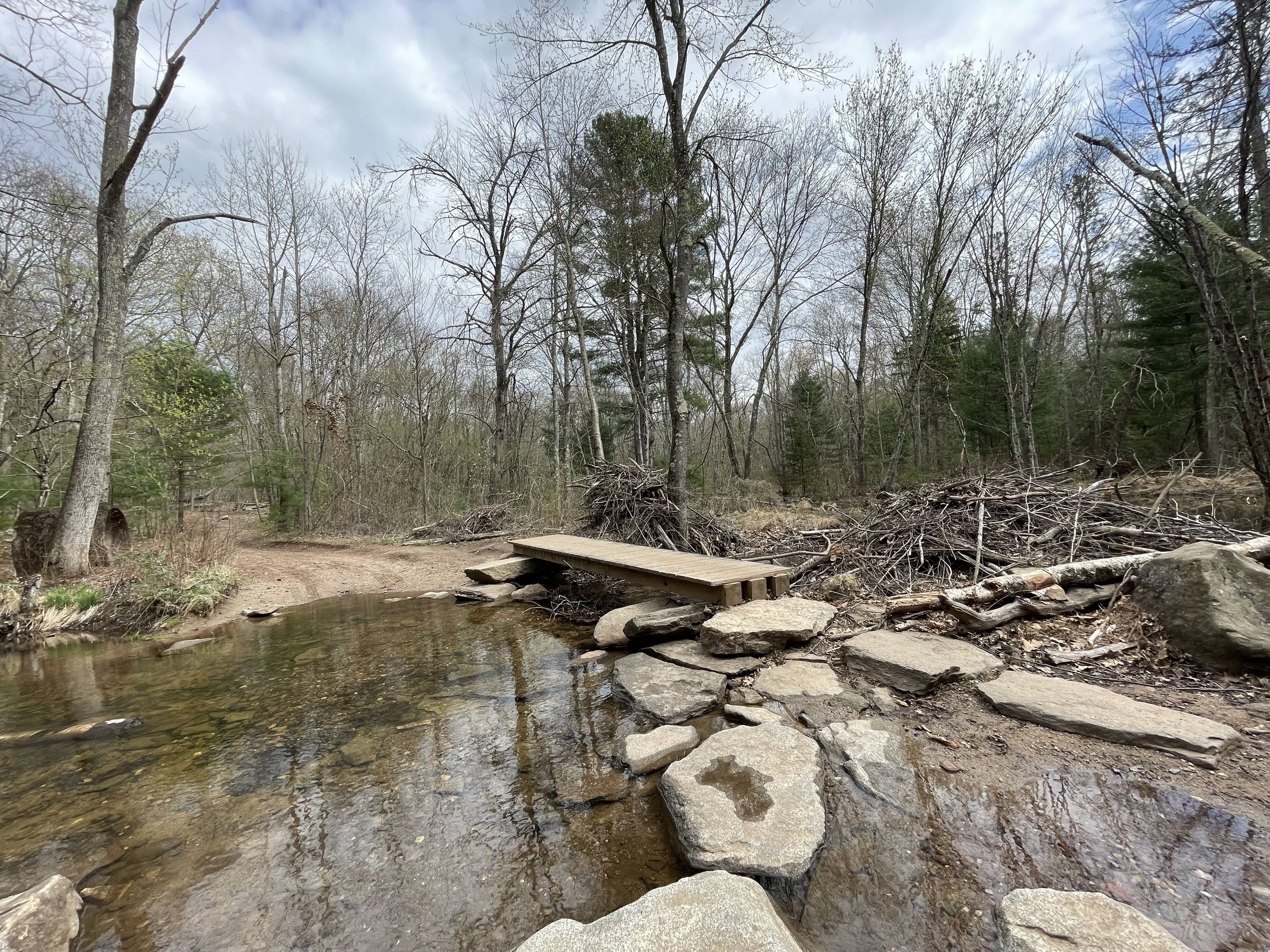
Nestled deep in the woods of rural Portland, Connecticut, the Portland Reservoir is one of the state’s best kept secrets. Take the Reservoir Rim Trail loop for an easy walk around the water. About a half mile or a mile from the trailhead, depending on the direction you take, the path crosses over Buck Brook. Beaver dams are commonplace here, which can sometimes make it difficult to navigate.
Numerous trails branch off from the main route that connect to Meshomasic State Forest, a 9,000 acre plot of protected land spanning parts of East Hampton, Portland, Marlborough, Glastonbury and Hebron.
DISTANCE: 1.6 miles
LEVEL OF DIFFICULTY: Easy
PARKING
Street parking is available at the end of Old Marlborough Turnpike in Portland.
PAUGUSSETT
Sandy Hook, Connecticut
ABOUT
I had the pleasure of exploring this beautiful place during peak foliage. The Zoar Trail is a 6.5 mile loop located in the lower block of the Paugussett State Forest. Starting the hike counterclockwise, the path runs parallel to the Housatonic River. About a mile and a half from the trail head stands an impressive waterfall. With 40-feet of cascading water, Prydden Brook Falls is far from the largest in the state, but is definitely one of the most beautiful.
DISTANCE: 3.2 - 6.3 miles
LEVEL OF DIFFICULTY: Easy / Moderate
PARKING
There are two parking areas to access the trails on the Lower Block of Paugussett State Forest. The first is located at 150 Great Quarter Road in Sandy Hook. The lot at 999 Great Quarter Road is closer to the trail head for the Blue Blazed Zoar Trail.
SILVER SANDS
Milford, Connecticut
ABOUT
I originally intended to exclude beaches from this list because they probably deserve their own blog post. I made an exception for Silver Sands State Park in Milford.
With nearly a mile of newly constructed boardwalk, tall marshland grasses, and thousands of sea shells, Silver Sands is breathtakingly beautiful. Low tide exposes a half mile long sandbar, connecting the beach to a small island.
Charles Island is the subject of local lore, which states that the ground was cursed three times. The first curse was cast by a native Paugusset chief in the 1600s. Next was by the infamous pirate, Captain William Kidd, whose treasure may still lie buried beneath the sand. The third curse was said to involve an Aztec Emperor named Cuauhtémoc, who was brutally tortured and executed by Spanish explorers.
Today, Charles Island is designated a Natural Area Preserve, supporting many species of bird.
DISTANCE: 1.0 - 2.5 miles
LEVEL OF DIFFICULTY: Easy
PARKING
Parking is available in several lots off Silver Sands Parkway.
FARM RIVER
East Haven, Connecticut
ABOUT
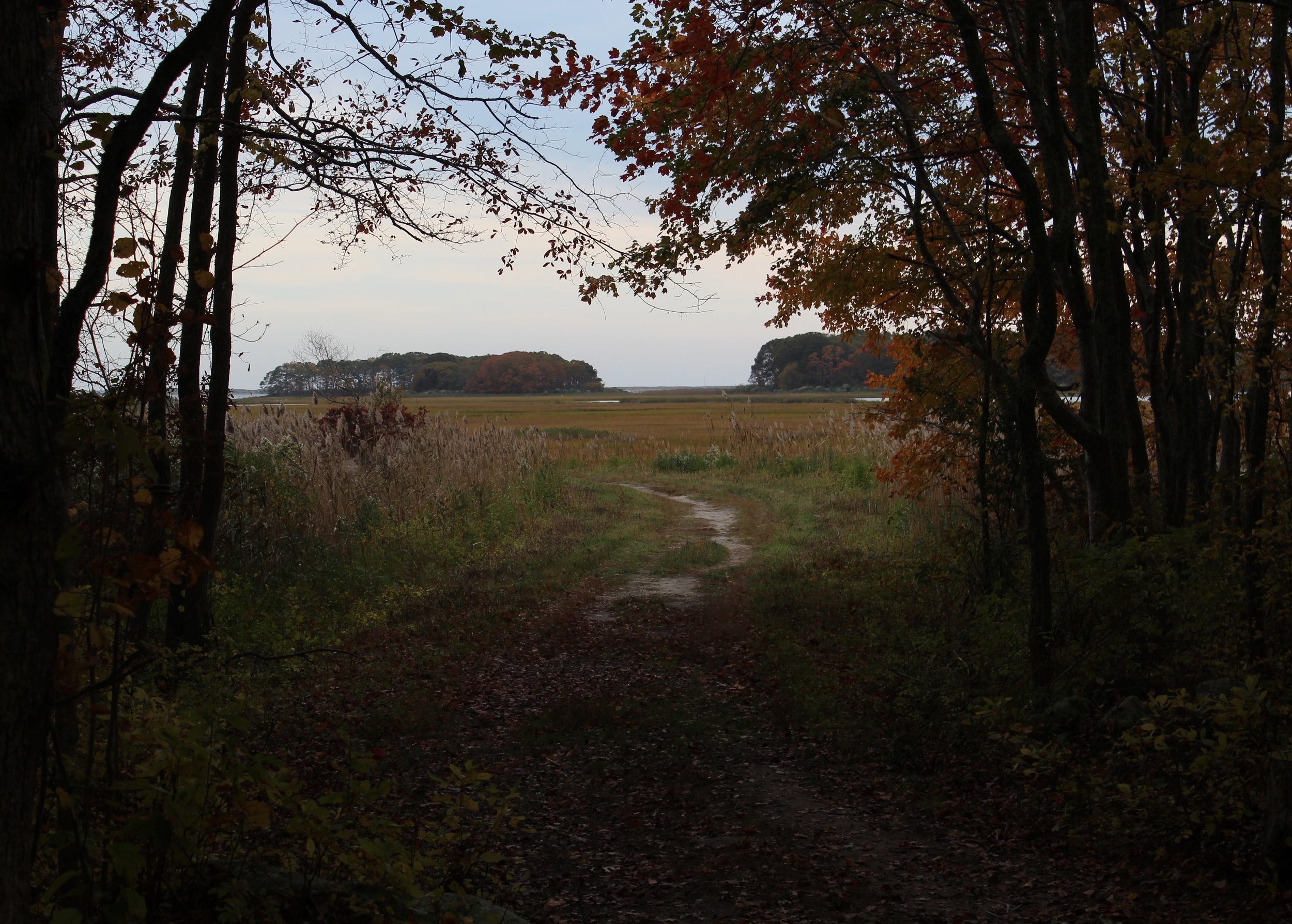
I visited this serene park as part of the Connecticut Department of Energy & Environmental Protection (DEEP) Sky’s the Limit Hiking Challenge. Despite its short trails, there are multiple scenic viewpoints to take in the idyllic marshlands.
DISTANCE: 1 mile
LEVEL OF DIFFICULTY: Easy
PARKING
The trails at Farm River State Park can be accessed from a small parking lot at 150 Short Beach Road in Branford.
LOVERS LEAP
New Milford, Connecticut
ABOUT
Lovers Leap is a beautiful state park named for a dark legend. The tale states that the daughter of a Pootatuck Indian Chief took her own life, believing that she had been jilted by her white lover. The man returned in time to see the young woman’s last moments and threw himself from the cliffs into the Housatonic River.
In reality, it’s unlikely that there is any truth to the anecdote. Similar stories were so prevalent that Mark Twain wrote that “there are fifty Lover’s Leaps along the Mississippi from whose summit disappointed Indian girls have jumped.”
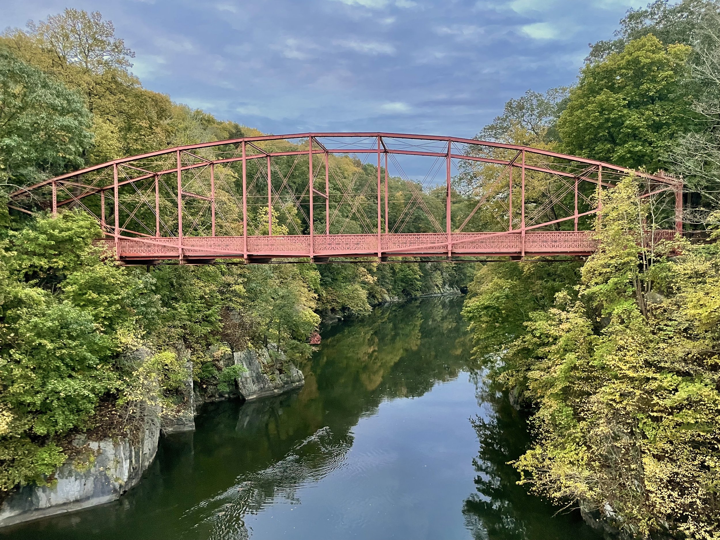
Hundreds of years later, Lover’s Leap remains a popular attraction for its beautiful historic iron bridge and ruins. It’s a relatively easy walk with memorable vista overlooking the Housatonic.
DISTANCE: 1.2 - 4.2 miles
LEVEL OF DIFFICULTY: Easy
PARKING
The trails at Lovers Leap State Park can be accessed from a parking lot on Still River Drive in New Milford.


