10 GREAT HIKES IN LITCHFIELD COUNTY
Located in the northwestern corner of Connecticut, Litchfield County boasts the best hiking in the state. With numerous land preserves, dozens of state parks and 47 miles of the Appalachian Trail, there’s no shortage of opportunities for a leisurely stroll or a strenuous hike.
Here are 10 great hikes in Litchfield County.
MACRICOSTAS PRESERVE
New Preston and Washington, Connecticut
ABOUT THE HIKE
Spanning 516 acres of meadow, wetland and forest in New Preston, it’s easy to see why many Connecticut hikers call the Macricostas Preserve their favorite destination.
Take the Meeker Trail to explore everything this beautiful place has to offer. From the main parking lot, walk down the boardwalk to the kiosk marking the trailhead.
The path continues along the edge of an idyllic hayfield and across a wooden boardwalk through the Meeker Swamp.
A moderate climb through the woods to Waramaug’s Rock opens up to an impressive panoramic view of Lake Waramaug. For a shorter route to this vista, take the trailhead on E Shore Road in Washington. This path is just over a mile and a half out and back.
DISTANCE: 1.6 - 3.9 miles
LEVEL OF DIFFICULTY: Easy / Moderate
PARKING
For the most direct route to Waramaug’s Rock, park in the small lot at 56 E Shore Road in New Preston. To access the other trails at the preserve, park in one of three areas on Christian Street and Litchfield Turnpike. The largest lot is at 124 Christian Street in New Preston. There is also parking for the east and west hay field entrances.
CAMP COLUMBIA STATE PARK
Morris, Connecticut
ABOUT THE HIKE
A short and easy trail leads to a beautiful stone observation tower. Take the staircase to the top of the structure for a stunning 360 degree view.
The park’s origins date back to the late 19th century. In 1885, the Columbia College Engineering School of Plane Surveying began teaching summer classes on a plot of land close to Bantam Lake. By 1903 early 200 students were studying here.
During the First World War the Camp became a military combat training facility for Columbia students planning to join the conflict. Over 300 yards of trenches were dug into the property to help prepare the future soldiers.
The property returned to its original mission as a collegiate summer camp after the war. The gorgeous stone tower that visitors to Camp Columbia State Park enjoy today was built in 1942 as a gift from the Class of 1906.
DISTANCE: 0.5 miles
LEVEL OF DIFFICULTY: Easy
PARKING
Camp Columbia State Park has one main parking lot at 294 West Street in Morris.
MOHAWK STATE FOREST
Goshen, Connecticut
ABOUT THE HIKE
Mohawk Mountain State Forest has something to offer outdoor enthusiasts in all four seasons. Covering 3,300 acres in Cornwall and Goshen, Connecticut, visitors can enjoy camping, skiing, fishing, boating, picnicking and miles of hiking on the Mattatuck Trail.
There are numerous trailheads throughout the park. In the southern section, trails along Camp and Great Hill Roads, the boat launch and Wadhams Road take you past Mohawk Pond.
In the northern section of Mohawk Mountain State Forest, take the trailhead on Johnson Road or one of many on Toumey Road.
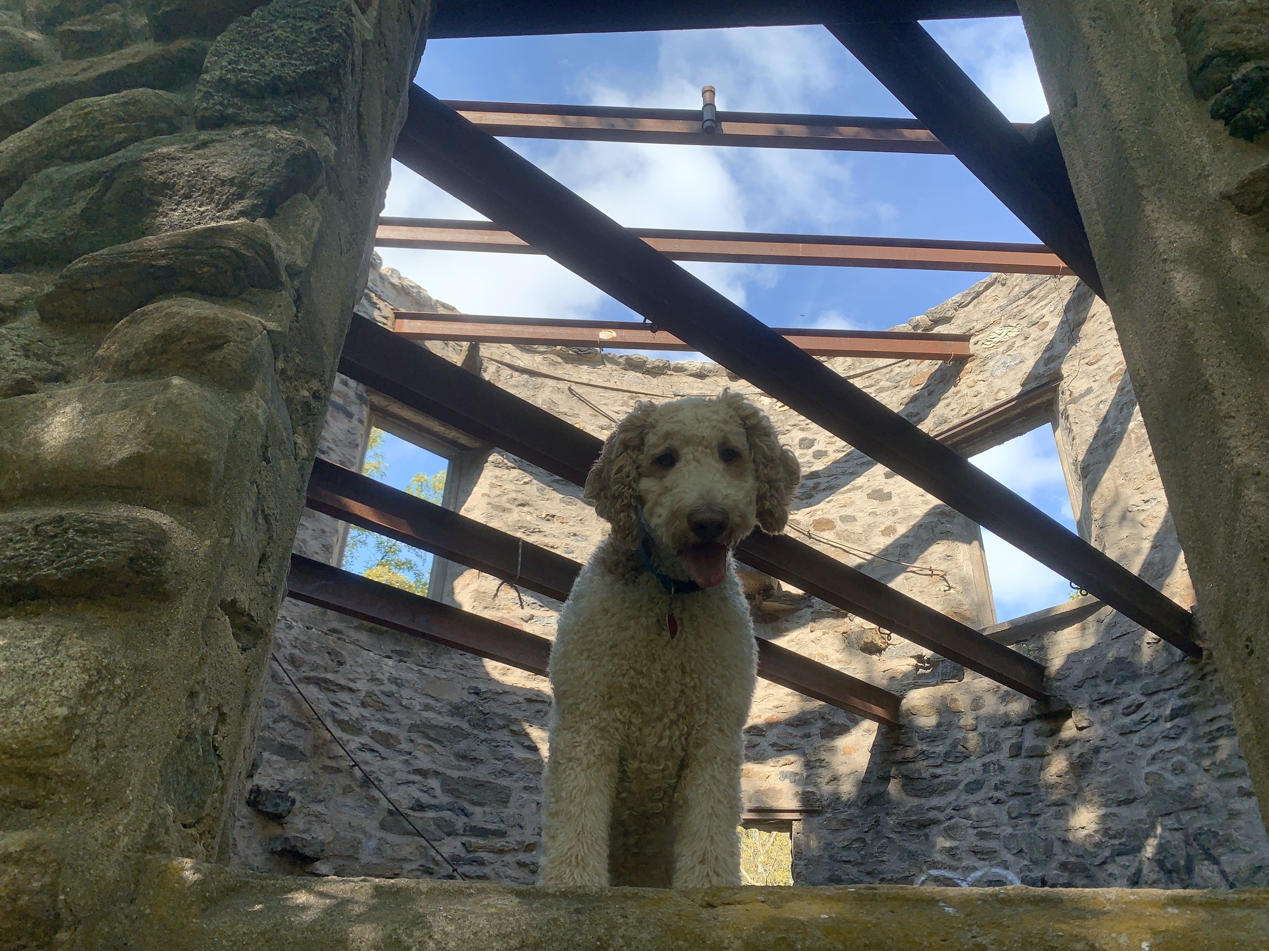
If you’re looking for a short hike, park here. Mere feet from the small lot are the eerie ruins of Cunningham Tower. Constructed in 1915 by Seymour Cunningham, the two-story tower is now little more than an open shell.
A detailed history of the site can be found on the Cornwall Historical Society’s website.
The trail continues south for a mile before opening up to a stunning overlook with a picnic tables and spots to grill.
DISTANCE: 1.0 - 5.9 miles
LEVEL OF DIFFICULTY: Easy / Moderate
PARKING
There are numerous trails and places to park at Mohawk State Forest. In the northern section of the park, there are several small lots along Toumey Road in Goshen. The closest parking to Cunningham Tower can be found here. Parking is also available at the Mohawk Overlook.
HIDDEN VALLEY PRESERVE
Washington Depot, Connecticut
ABOUT THE HIKE
Maintained by the Steep Rock Association, this 940-acre preserve is simply charming. The highlight for most visitors is the 134-foot cable stayed suspension bridge over the Shepaug River: The Thoreau Bridge. Quotes from the bridge’s namesake are inscribed on the steel handrails and a bench on the southern bank of the river.
A detailed trail map outlines 12 different loops and trails around the preserve. For an easy walk, take the President’s Trail or one of the other paths close to river.
The routes to reach the Hidden Valley Pinnacle, the Hidden Valley Lookout or the old Quartz Mine are moderately more challenging.
DISTANCE: 0.6 - 3.5 miles
LEVEL OF DIFFICULTY: Easy / Moderate
PARKING
There are two small parking lots with easy access to the trails at Hidden Valley Preserve. The larger of the two is located at 198 Bee Brook Road in Washington Depot and the other is a few hundred feet away at 129 Bee Brook Road.
STEEP ROCK PRESERVE
Washington, Connecticut
ABOUT THE SITE
Less than 3 miles south of Hidden Valley Preserve is one of Connecticut’s most beloved outdoor destinations. Steep Rock Preserve in Washington has nearly one thousand acres of serene woodlands with several memorable features.
Likely the most iconic landmark of Steep Rock Preserve is the 235-foot rail road tunnel. Coal miners created this imposing passageway in just 9 months using picks, dynamite and nitroglycerin. The tunnel was in use by the Shepaug Valley Railroad from 1872 to 1948.
Take the Pinney Loop or Clamshell Loop trails (blue and orange squares), to pass through the tunnel.
About a quarter mile from the old train tunnel, the Steep Rock Loop trail (yellow circles) crosses over the Shepaug River via the 120 foot suspension bridge, the Hauser Footbridge. A moderately steep climb leads to Steep Rock Summit, offering an amazing overlook of the Shepaug River Valley and the area of the park dubbed The Clamshell. Check out the aerial view from Google Maps or the Steep Rock Preserve Trail Map if you’d like to know why.
Another unique landmark at Steep Rock Preserve are the ruins of the Holiday House. Located at the northern part of the preserve, the crumbling remains of a stone foundation is all that remains of a late 19th century hotel. The Holiday House was built by philanthropist Edward I. Van Ingen as a retreat for working-class women affiliated with Saint Bartholomew’s Church in New York City.
DISTANCE: 2.3 - 3.8 miles
LEVEL OF DIFFICULTY: Easy / moderate
PARKING
There are several small lots with access the trails at Steep Rock Preserve: two other either side of the Shepaug River near 2 Tunnel Road in Washington Depot and one at the end of Kirby Brook Road and Spring Hill Road.
MOUNT TOM STATE PARK
Washington Depot, Connecticut
ABOUT THE HIKE
Mount Tom is a one of the oldest state parks in Connecticut. Established in 1915, it boasts a small beach and swimming area, as well as fishing, picnicking and boating. The focal point of the park, however, is undoubtedly the stone lookout tower.
Take one of two trailheads for the yellow loop up a moderately steep hill. The ruins of an old chimney can be found at the beginning or the end of the hike, depending on where you start. After about a half mile, the trail opens up to Mount Tom Tower. Climb to the top for amazing 360 degree views.
DISTANCE: 1.3 miles
LEVEL OF DIFFICULTY: Easy / Moderate
PARKING
Mount Tom has several areas to park. All of them are a short walk to the trails that lead to the tower. After entering the state park onto Mount Tom Road in New Preston, continue past Camp Chinqueka towards the beach.
HAYSTACK MOUNTAIN TOWER
Norfolk, Connecticut
ABOUT THE HIKE
Haystack Mountain State Park is one of Connecticut’s most underrated attractions. Located in the historic district of Norfolk, a relatively short and easy hike brings visitors to a beautiful three-story tower. The structure was built in 1929 from locally quarried stone to replace a wooden tower from 1886 that had been destroyed by a storm.
Climb to the top of the tower for a beautiful panoramic view.
DISTANCE: 0.8 miles
LEVEL OF DIFFICULTY: Easy / Moderate
PARKING
Parking is available next to the trailhead to the Haystack Mountain Tower. Follow the road up from the park’s entrance off North Street in Norfolk.
MACEDONIA BROOK STATE PARK
Kent, Connecticut
ABOUT THE HIKE
Likely the most difficult hike on this list, Macedonia Brook State Park offers breathtaking views for those who are up to the challenge.
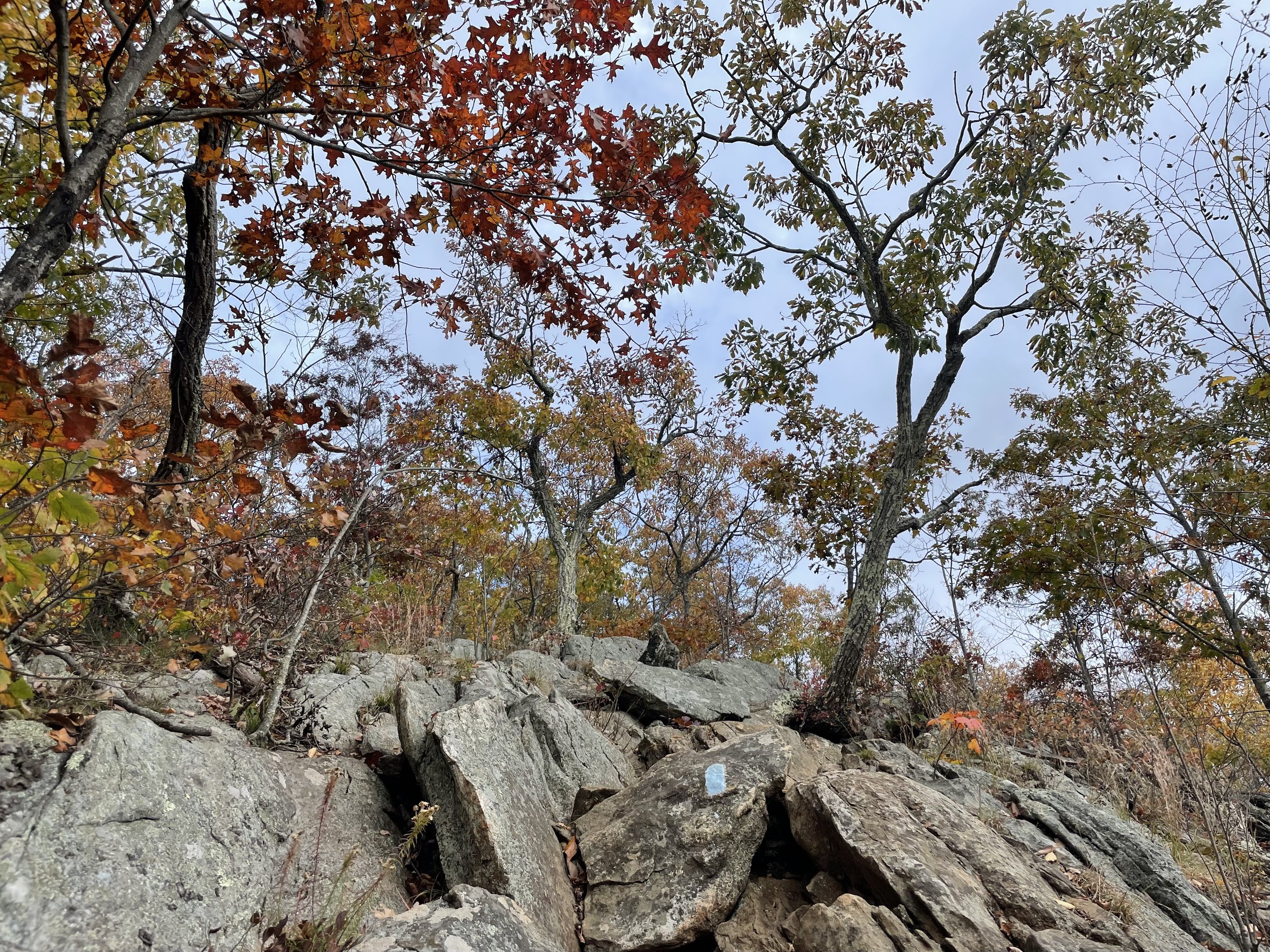
The blue-blazed Macedonia Ridge Trail is a 6.8 mile loop that ascends over 1,200 feet to the summit of Cobble Mountain. Less than a mile from the New York border, there are several lookout points along the path with clear panoramic views of the Catskill Mountains.
For a shorter, but far more grueling hike, climb the rock scramble to the top of the Cobble Mountain Trail.
DISTANCE: 2.2 - 6.8 miles
LEVEL OF DIFFICULTY: Difficult
PARKING
There are several places to park along Macedonia Brook Road and Weber Road inside the park.
PEOPLES STATE FOREST
Barkhamsted, Connecticut
ABOUT THE HIKE
There’s stiff competition for Connecticut’s best hike, but the Jessie Gerard Trail in Peoples State Forest is without a doubt at the top of my list.
Peoples State Forest in Barkhamsted checks a lot of boxes. It has an impressive waterfall, breathtaking vistas, and historic sites. The park contains a wide network of trails, but I recommend taking one of the routes that begin near the Barkhamsted Lighthouse Archaeological Preserve.
Take the short Lighthouse Trail to explore some of the area’s historic attractions. A wooden sign describes the site of a cemetery where unmarked graves show the final resting place of 50 early residents of the Barkhamsted Lighthouse Village. Included here are village founders, James Chaugham, a native American and his wife Molly Barber, who was of english decent. Other residents of the village included freed and escaped African American slaves. The remains of a cellar hole, stone quarry, grind stone and charcoal kilns can also be found along the Lighthouse Trail.
Follow the Falls Cut Off Trail for a challenging ascent beside a waterfall before connecting with the Jessie Gerard Trail. The path continues for about a quarter of a mile and opens up to the aptly named Grand Vista Overlook.
A short distance further on the Jessie Gerard Trail brings you to another incredible vista, the Chaugham Lookout. This hike is remarkable in all seasons, but is unmatched during peak foliage.
Just beyond the vistas, the trail continues through the woods and past two massive rocks, known as the Veeder Boulders. They were named after Curtis Veeder, who helped raise the money to purchase the land that now makes up Peoples State Forest.
DISTANCE: 3.0 - 5.0 miles
LEVEL OF DIFFICULTY: Moderate / Difficult
PARKING
Parking for the Jessie Gerard Trail can be found in a small lot off East River Road in Barkhamsted.
CAMPBELL FALLS STATE PARK
Norfolk, Connecticut
ABOUT
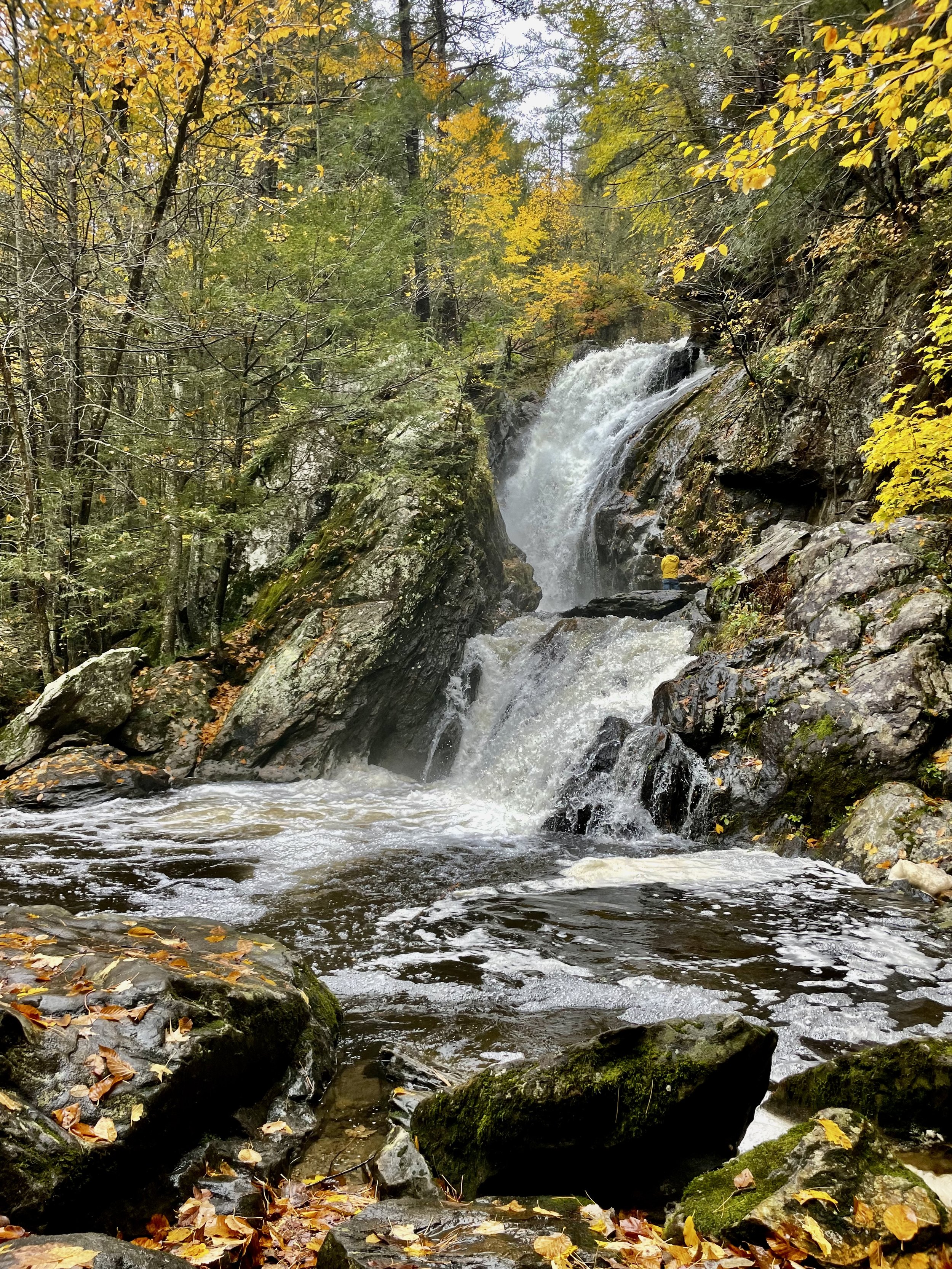
Campbell Falls State Park in Norfolk, Connecticut is one of the state’s best waterfall hikes. The main attraction, however, is just over the border in Massachusetts.
The Whiting River cascades down a 50 foot drop a half mile from the trailhead. This is an easy hike with a huge pay off!
DISTANCE: 1.0 miles
LEVEL OF DIFFICULTY: Easy
PARKING
The trail can be accessed from a small parking lot off Spaulding Road in Norfolk Historic District.


